The experience our team has is multidisciplinary which allows us to provide personnel with the correct skill set and experience to cater for your engineering needs on site.
Land and Engineering Surveyors Based in Lancashire, Operating Nationwide
Since 1997, Site Surveying Services has grown alongside the dynamic surveying industry. Our use of cutting-edge techniques and technology ensures consistent delivery of high-quality surveys, prioritising exceptional customer service.
Our extensive portfolio features successful topographical surveys, elevations, floor plans, laser scans, and site engineering services. Our measure of success revolves around the value we add to your business, cultivating strong customer relationships and expanding our reach.
We specialise in managing sizable projects while maintaining a personal approach. Our client base spans major construction firms, councils, developers, architects, and homeowners. Regardless of project size, competitive pricing and unwavering commitment to results are guaranteed.
Our team includes skilled surveyors, site engineers, and in-house CAD professionals. Rigorous training keeps them updated with evolving methods and technologies, ensuring efficient site visits and cost-effective results.
Marrying personnel expertise with cutting-edge technology enhances both speed and accuracy, consistently surpassing client expectations. Choose Site Surveying Services for personalised, success-driven, and technologically advanced surveying solutions.
Site Surveying Services work with a variety of different clients on different projects, and we pride ourselves on delivering accurate, efficient, cost effective surveys ensuring our clients receive the best possible product.
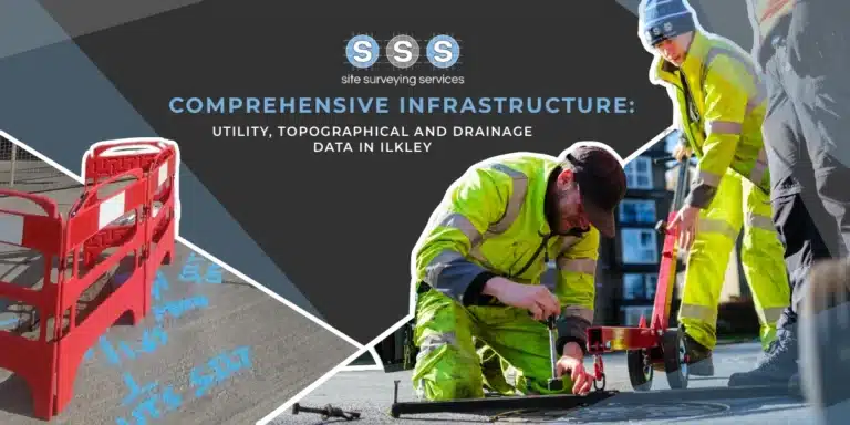
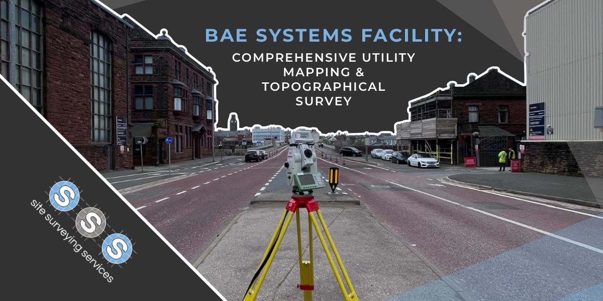
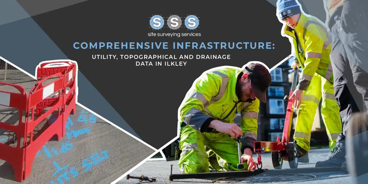
Using the latest equipment, we can provide the location of underground services in either 2D or 3D. We use state of the art Ground Penetrating Radar and Electromagnetic Location to assist your project when service avoidance may be a potential issue on site.
Is there any movement? That is the question that is asked before and during any monitoring scheme. That is the reason we undertake monitoring, to check for movement.
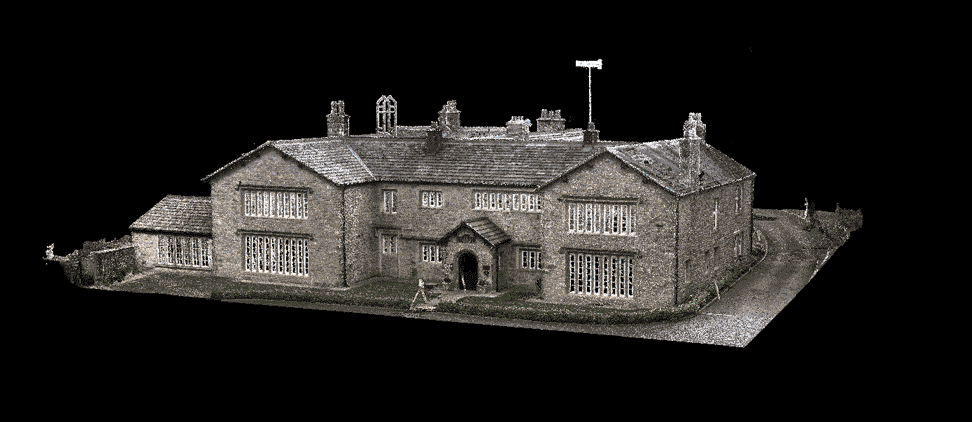
For mass collection of accurate survey data then nothing beats scanning. Using 3D laser Scanners the surveyors can capture millions of points per second with the creation of a PointCloud.
Bread and butter work for us! Having a strong relationship with many civil engineering companies we have a very strong team of Site Engineers and Engineering Surveyors working for us.
At Site Surveying Services we have vast experience in this field. Be it a large highway scheme or a private property we can advise on what accuracies are required from your control network depending on what work you are carrying out and the tolerances you are carrying this work out to.
Large areas of ground can be covered capturing the most unbelievable detail which would just be unable to be recorded with traditional methods. Our clients have really seen the benefit of what UAV surveys bring to the table.
Machine control systems have been around for years now and Site Surveying Services have been utilising these systems from the very start. We realised the benefits of these systems early on when working with earthworks contractors.
Being a leader in the Surveying and Engineering sector we have a fleet of modern survey equipment at our disposal which is second to none. We carry the latest GNSS Base Stations, GNSS Rovers, Robotic Total Stations, Laser Scanners, Digital Levels, and Dual Grade Lasers.
Virtual Tour 3D is an immersive experience which instantly transports your clients to your business, and guides them through your space, creating a seamless and captivating experience.
BIM (Building Information Modelling) model creation in surveying refers to the process of using specialised software to create a 3D digital model of a building or infrastructure project that includes information about the project’s design, construction, and maintenance.
We have formed very close relationships with a superb selection of high profile and loyal clients which use our services. Take a look…
We worked with Site Surveying Services Ltd for a considerable number of years now. Witnessing their remarkable evolution and growth as a company has been truly impressive. Throughout our partnership, they have adeptly navigated the intricacies of our most complex sites, consistently delivering work of exceptional quality. Furthermore, the level of communication they have consistently maintained has been nothing short of excellent. Highly recommended.
Muse architects
Thomas Consulting have often used Site Surveying Services Ltd for Topographical Surveys and have always been happy with the service they provide. They are competitive, efficient and communicate extremely well and we look forward to our continued relationship including other services they provide.
Thomas consulting
Site Surveying Services have carried out several jobs for us including GRP and Topographical surveys. Every time they have been a pleasure to deal with and the quality of work received is second to none. I look forward to working on future projects with them.
Dale nuttall
Excellent service! I have used Site Surveys for topographical work for a good few years now in my role as Planning Consultant. The service is very reliable, efficient, cost effective and with a friendly team.
luke godden
Fantastic service provided. Clearly explained all matters regarding the work to be done. Very prompt and professional with great details provide. I'm delighted that I chose this company to carry out my services survey.
Stewart Rypel
The whole process was professionally done and the 360 tour results is amazing and very competitive too. We will be using them again soon on our next project. Many thanks to Samuel and the team. Well done!

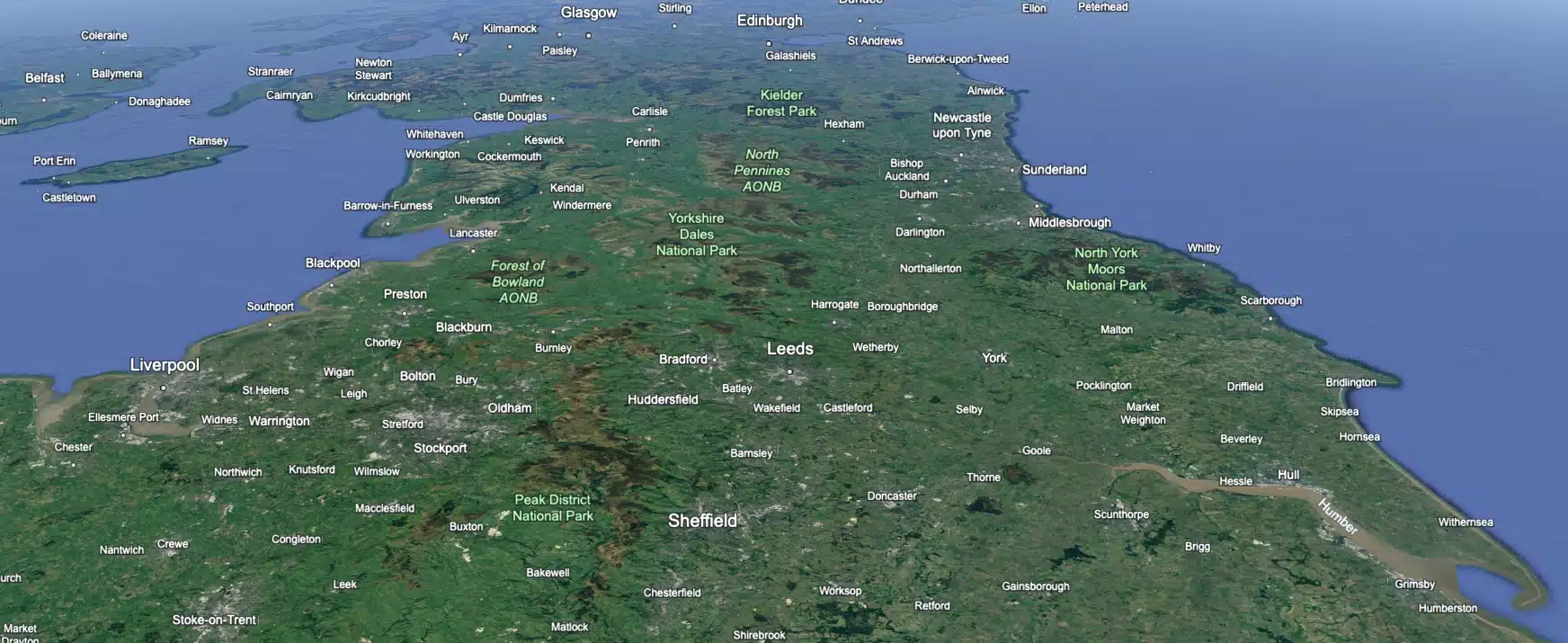
 Leeds
Leeds Doncaster
 Sheffield
 Bradford
 Hull
Hull Halifax
 Sunderland
 Newcastle
 Middlesborough
 Yorkshire Moors
 Teesside
 Cumbria
 Harrogate
 York
York Yorkshire Dales
 Northumberland
 Goole
Goole Carlisle
 Keswick
 Kendal
 Barrow-in-Furness
 Lancaster
 Blackpool
 Morecambe
 Southport
 Liverpool
 Wigan
Wigan Manchester
 Blackburn
 Burnley
 Forest of Bowland
 Oldham
 Chester
 Stockport
 Peak District
 Skipton
 Crewe
Crewe Rotherham
 Stoke
Stoke Driffield