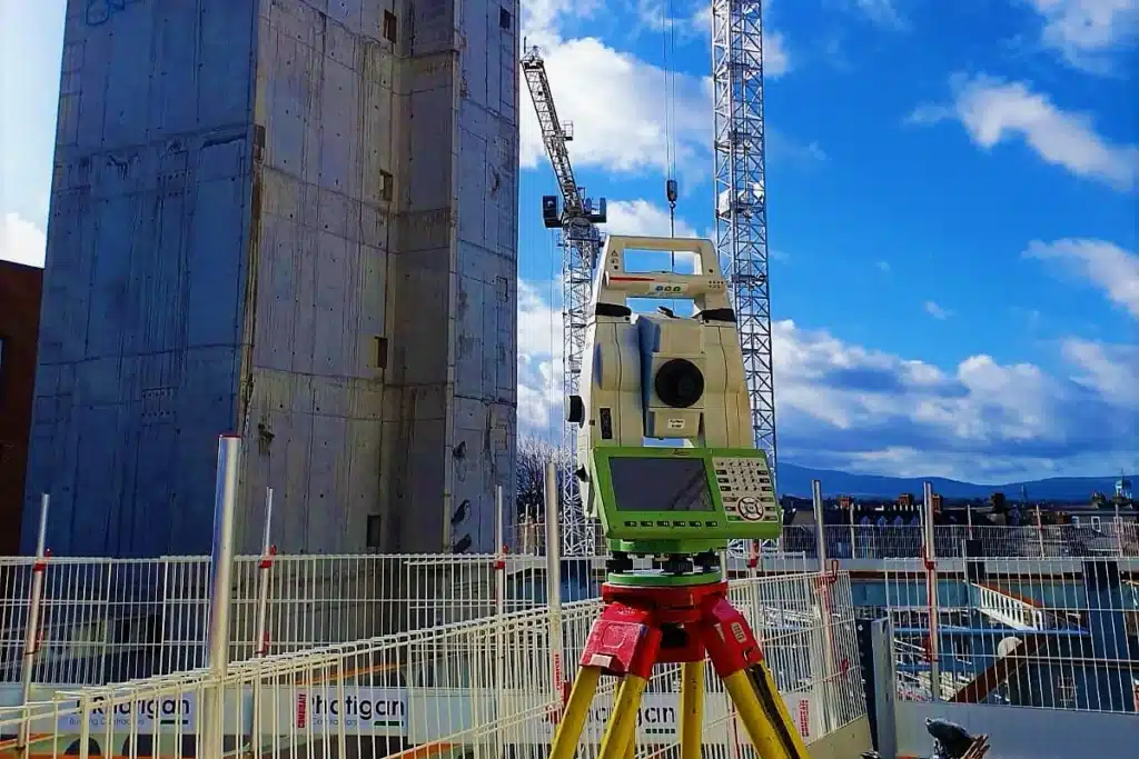
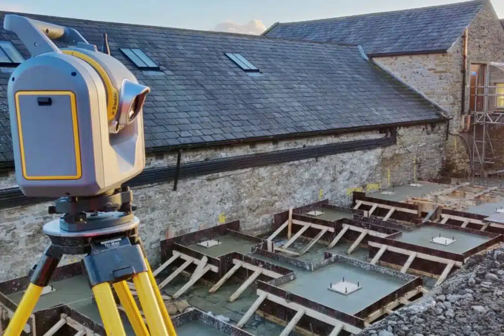
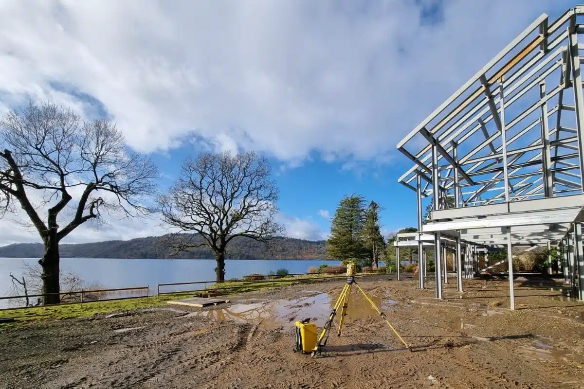
From early feasibility studies to final as-built verification, we deliver the survey accuracy that construction projects rely on, ensuring every structure stands on data you can trust.
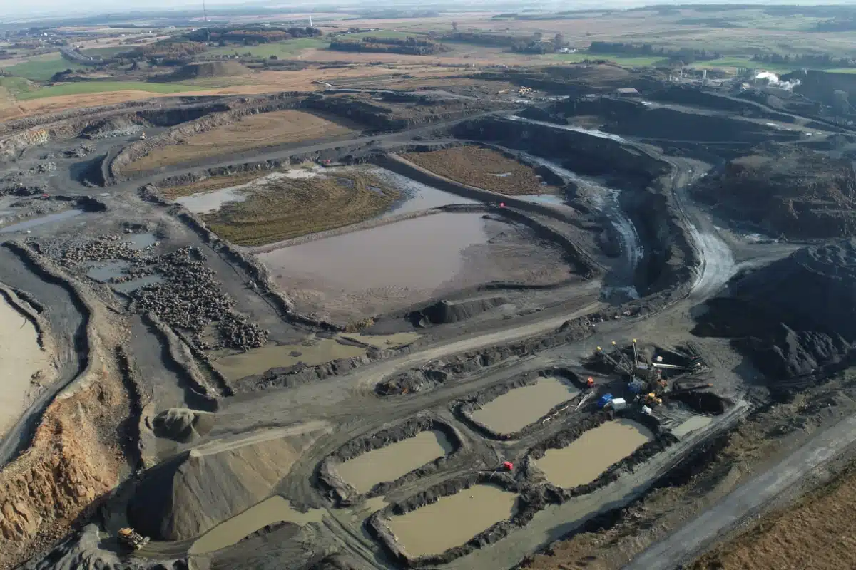
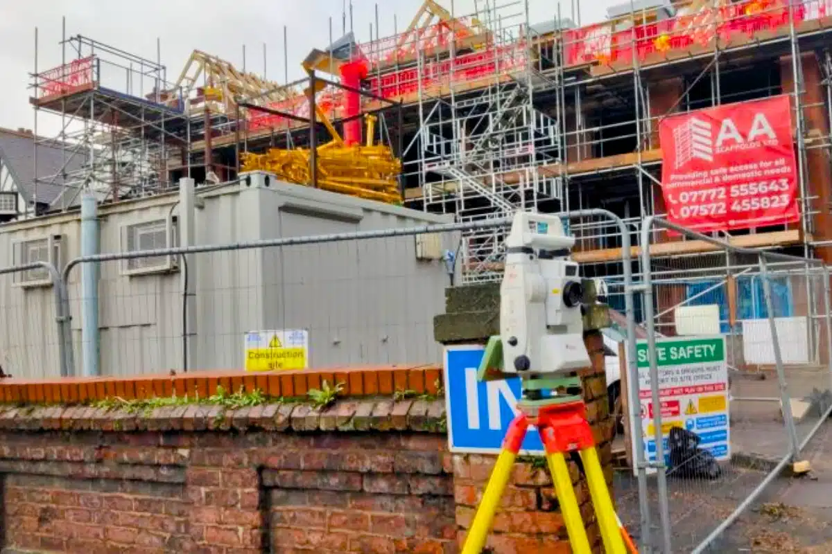
Construction projects demand speed, accuracy, and coordination between multiple trades.
Yet even the smallest survey error or misalignment can cascade into costly rework, design clashes, or safety issues on-site.
Contractors and developers need survey partners who understand the pressures of live sites: who can adapt quickly, deliver precisely, and keep projects on track no matter how complex the environment.
Why Accuracy Matters...
Every measurement, level, and coordinate influences the success of the final build.
Accurate, coordinated survey data ensures that construction moves forward with confidence, allowing teams to:
Build safely
ensuring structures, excavations, and utilities align to design tolerances.
Reduce delays
avoiding rework and costly downtime caused by inaccurate or incomplete data.
Improve collaboration
providing unified datasets that integrate seamlessly with design, engineering, and BIM platforms.
Meet compliance standards
delivering verifiable records for QA, as-builts, and handover documentation.
Optimise efficiency
reducing repeat visits, downtime, and reliance on multiple contractors.
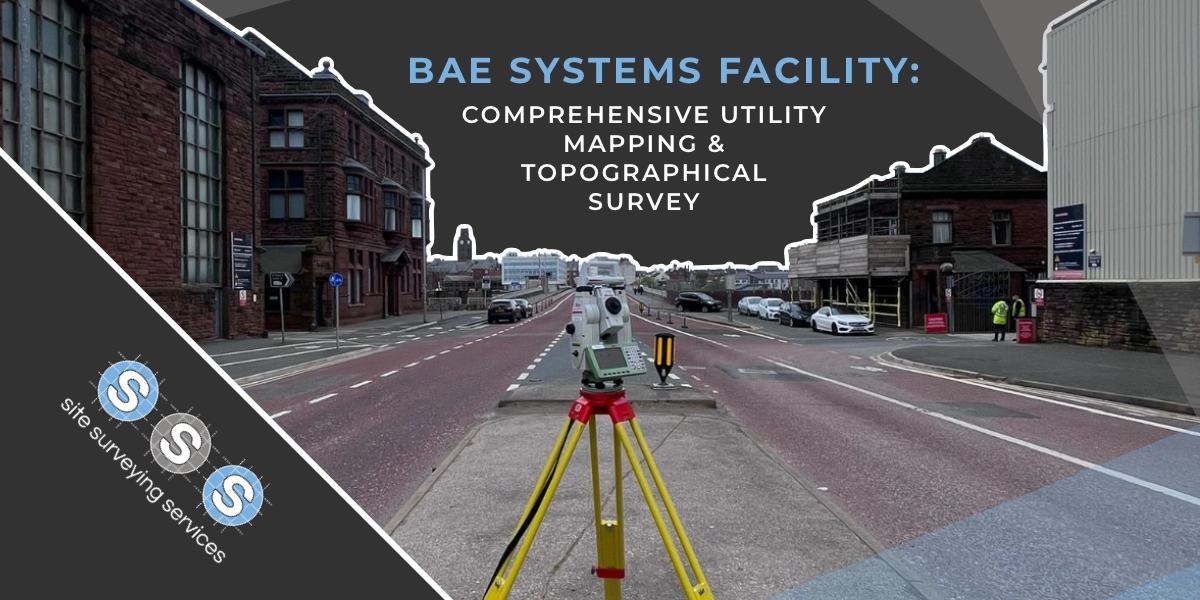
We combine traditional engineering expertise with modern digital workflows.
From laser scanning and drone data to BIM coordination, our technology enables faster decisions, fewer errors, and a complete record of every stage of construction.
Our goal: to make accurate data the easiest part of your project.


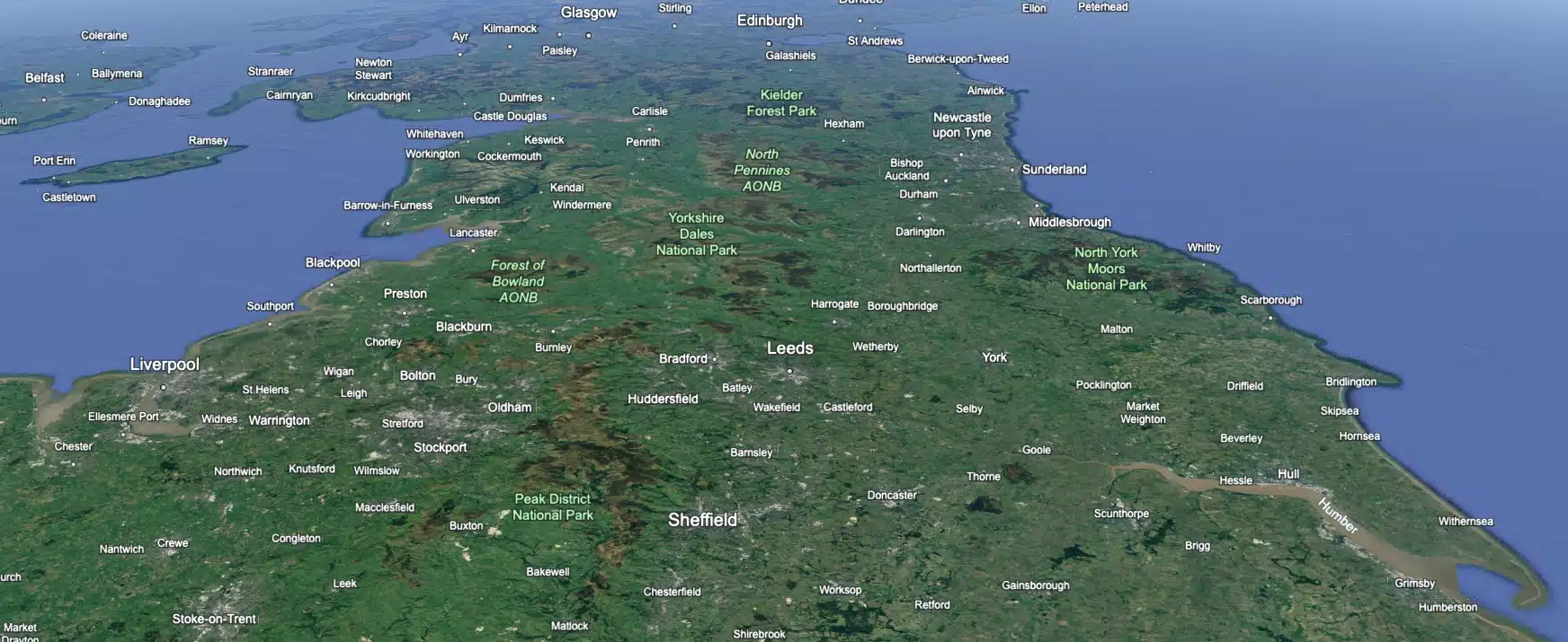
 Leeds
Leeds Doncaster
 Sheffield
 Bradford
 Hull
Hull Halifax
 Sunderland
 Newcastle
 Middlesborough
 Yorkshire Moors
 Teesside
 Cumbria
 Harrogate
 York
York Yorkshire Dales
 Northumberland
 Goole
Goole Carlisle
 Keswick
 Kendal
 Barrow-in-Furness
 Lancaster
 Blackpool
 Morecambe
 Southport
 Liverpool
 Wigan
Wigan Manchester
 Blackburn
 Burnley
 Forest of Bowland
 Oldham
 Chester
 Stockport
 Peak District
 Skipton
 Crewe
Crewe Rotherham
 Stoke
Stoke Driffield