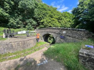

 Leeds
Leeds Doncaster
 Sheffield
 Bradford
 Hull
Hull Halifax
 Sunderland
 Newcastle
 Middlesborough
 Yorkshire Moors
 Teesside
 Cumbria
 Harrogate
 York
York Yorkshire Dales
 Northumberland
 Goole
Goole Carlisle
 Keswick
 Kendal
 Barrow-in-Furness
 Lancaster
 Blackpool
 Morecambe
 Southport
 Liverpool
 Wigan
Wigan Manchester
 Blackburn
 Burnley
 Forest of Bowland
 Oldham
 Chester
 Stockport
 Peak District
 Skipton
 Crewe
Crewe Rotherham
 Stoke
Stoke Driffield


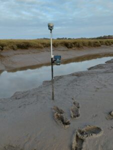
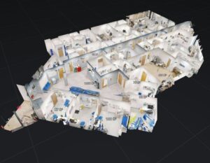
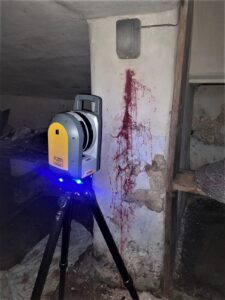
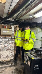
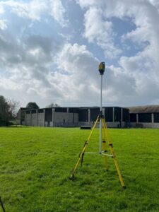
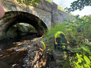
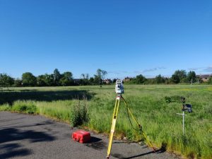
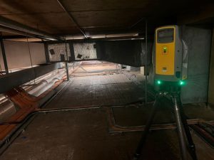
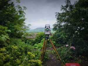
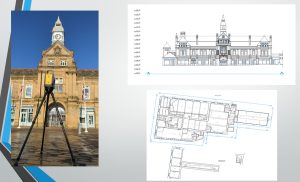
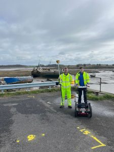
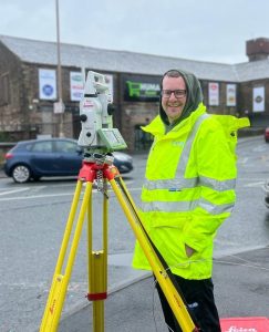
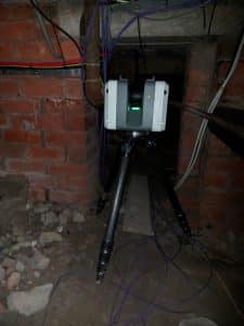
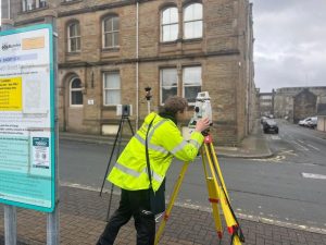
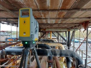
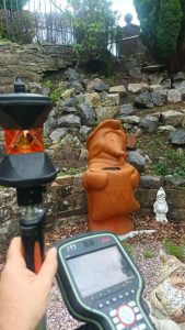
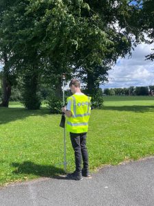
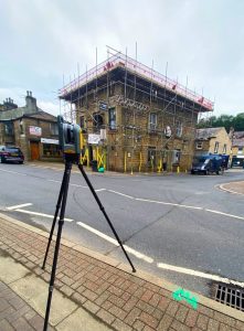
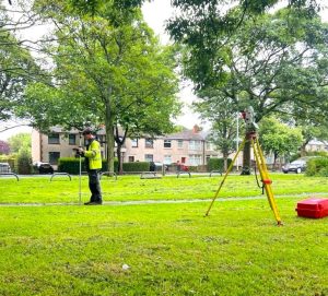
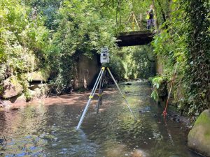
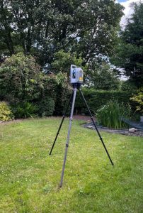
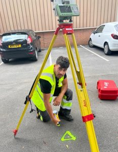
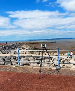
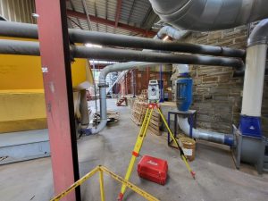
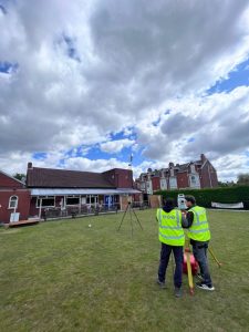
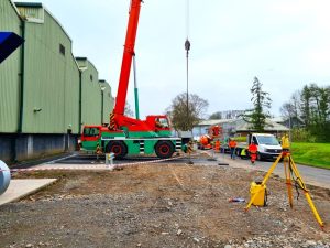
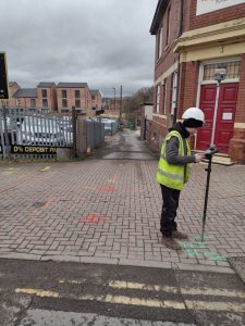
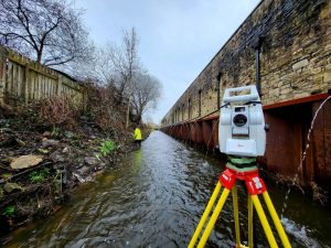
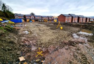
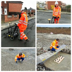
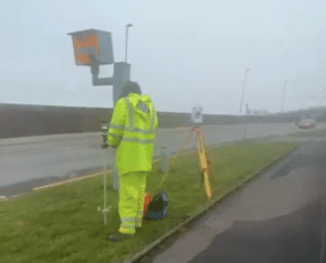
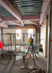
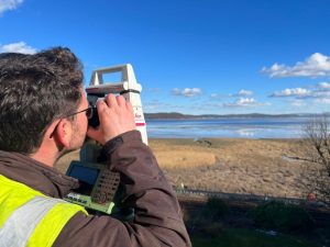
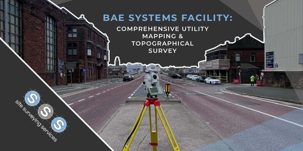
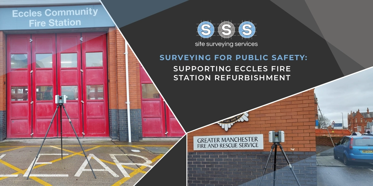
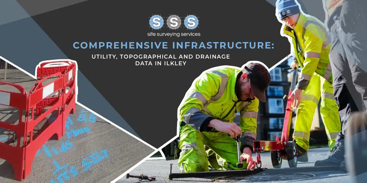
A few weeks ago you may have seen a post relating to the Topographical & Laser Scanning project we undertook at Liverpool Docks. This week we’ve been back on site undertaking a PAS128 Utility Mapping Survey.
What is PAS128?
PAS128 is the UK standard for underground utility detection, verification, and location. It helps map utilities like gas, electricity, water, telecoms, and more.
Here’s why a PAS128 Survey is a game-changer:
1️⃣ Improved Safety: Prevent accidents and reduce risks by knowing exactly where underground utilities are located, avoiding dangerous hits.
2️⃣ Cost Efficiency: Avoid costly project delays, reworks, or repairs caused by damaging unknown utilities during excavation.
3️⃣ Accurate Data: Get precise, reliable data that helps in better planning and decision-making for your site work, minimizing unforeseen challenges.
4️⃣ Regulatory Compliance: Meet legal requirements for utility detection, protecting your project from potential penalties.
5️⃣ Environmental Protection: Reduce the chances of environmental damage caused by hitting underground pipes or cables.
🔧 Whether you’re working on a large-scale development or a smaller project, a PAS128 Survey is a must to ensure safety, save costs, and keep your project on track.
Let’s talk about how a PAS128 survey can benefit your upcoming project! Reach out today.