

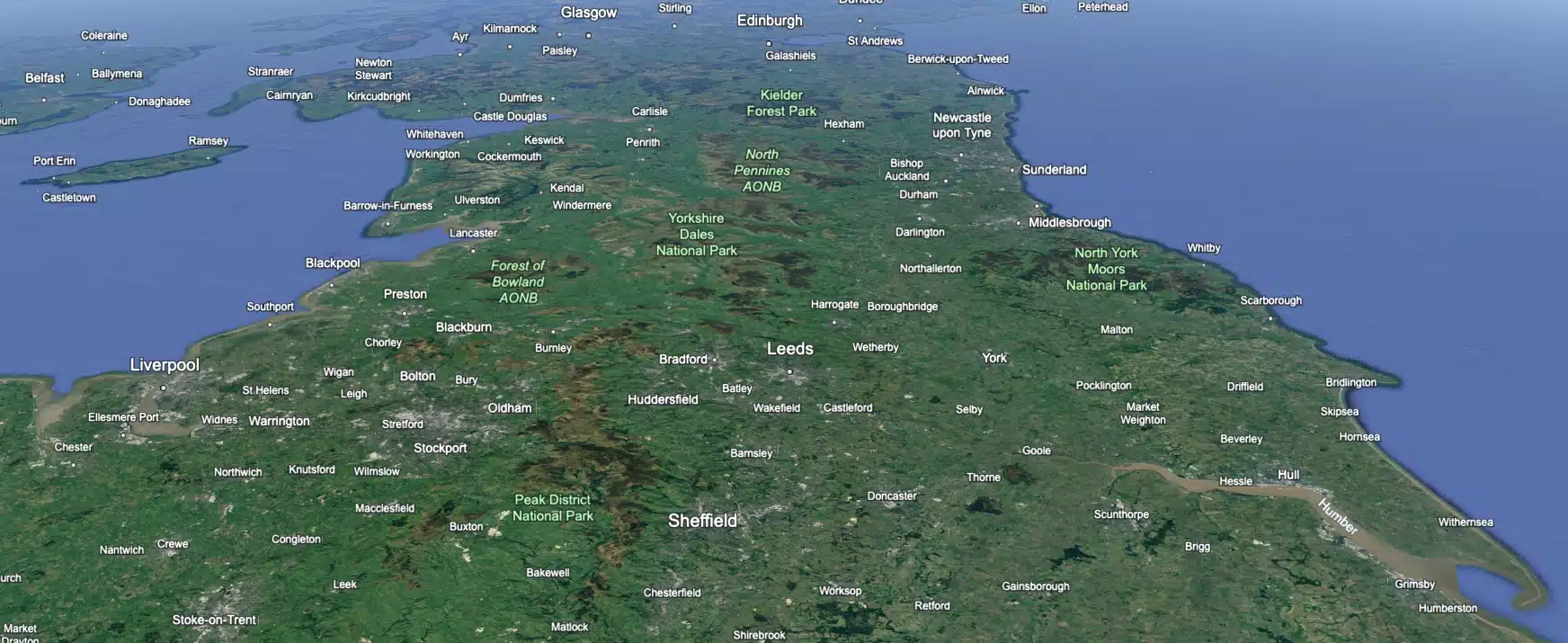
 Leeds
Leeds
 Doncaster
 Sheffield
 Bradford
 Hull
Hull
 Halifax
 Sunderland
 Newcastle
 Middlesborough
 Yorkshire Moors
 Teesside
 Cumbria
 Harrogate
 York
York
 Yorkshire Dales
 Northumberland
 Goole
Goole
 Carlisle
 Keswick
 Kendal
 Barrow-in-Furness
 Lancaster
 Blackpool
 Morecambe
 Southport
 Liverpool
 Wigan
Wigan
 Manchester
 Blackburn
 Burnley
 Forest of Bowland
 Oldham
 Chester
 Stockport
 Peak District
 Skipton
 Crewe
Crewe
 Rotherham
 Stoke
Stoke
 Driffield
Ripon Office
Head Office - Clitheroe
Matlock Office
Newcastle Office
Bristol Office

A nationwide surveying and engineering company operating in both the public and private sectors.

We’re proud to have a friendly, approachable team dedicated to delivering exceptional service from start to finish.

We have created some answers to a series of questions which explains a little more about our services.

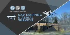
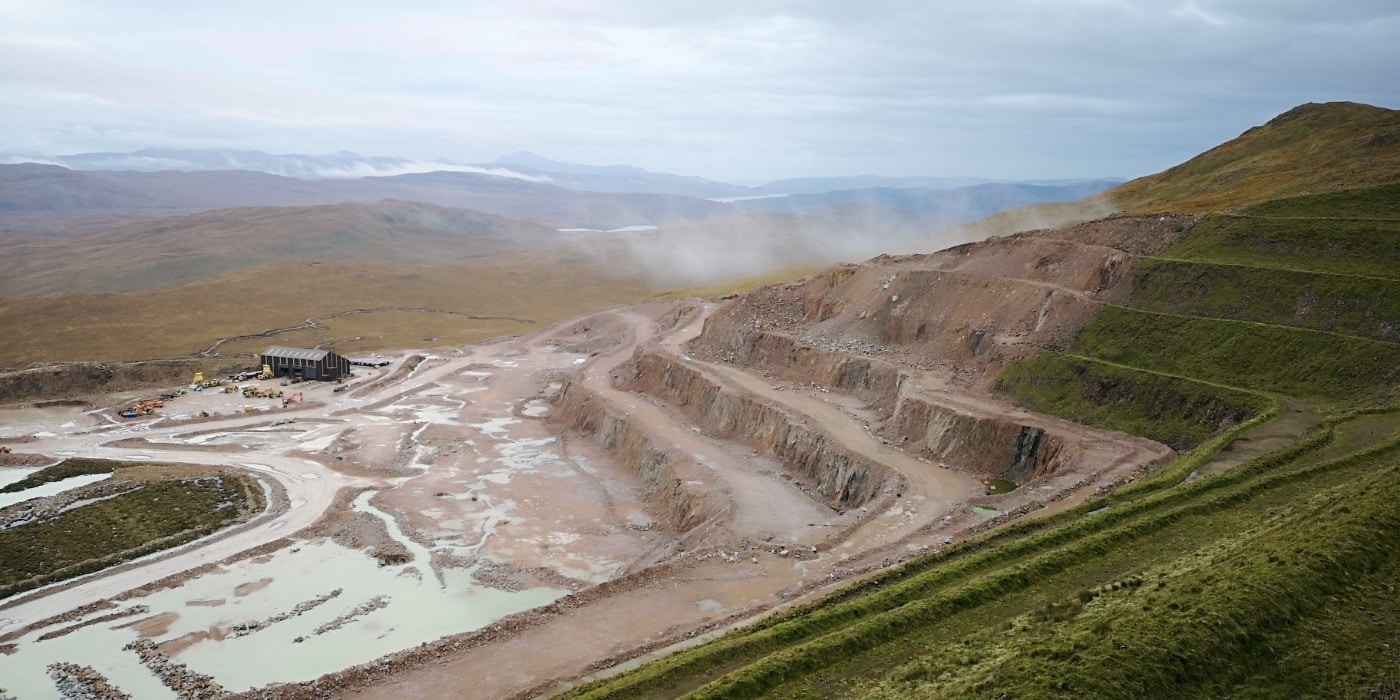
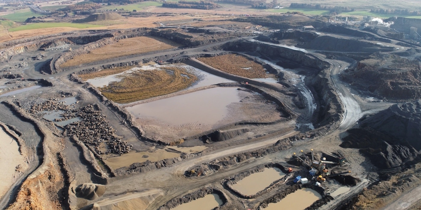
Drone surveying and aerial mapping are technologies that use unmanned aerial vehicles (UAVs), commonly known as drones, to collect data for surveying and mapping purposes.
In drone surveying, the drone is equipped with high-precision sensors, cameras and LiDAR Units, which is used to collect data about the topography, features, and conditions of a specific area. This data can be used to create digital elevation models (DEMs), orthomosaic maps, and other types of maps and visualisations that provide a detailed view of the surveyed area. Drone surveying is often faster, more cost-effective, and safer than traditional ground-based surveying methods.
In aerial mapping, the drone is equipped with high-resolution cameras and sensors, and is used to create aerial images and maps of the surveyed area. This data can be used to create topographical maps, 3D models, and other types of visualisations that provide a bird’s eye view of the area. Aerial mapping is often used in a variety of applications, including land management, urban planning, environmental monitoring, and disaster response.
Both drone surveying and aerial mapping have several advantages over traditional ground-based surveying and mapping methods, including increased efficiency and accuracy, improved safety, reduced costs, and the ability to survey areas that are difficult or impossible to access using ground-based methods.
We welcome any questions and are happy to assist with project advice – simply get in touch.