Surveying Services in Leeds
Leeds, West Yorkshire surveying
Site Surveying Services have initiated an number of surveying projects covering the entirety of Leeds City and its surrounding suburbs. This comprehensive endeavour involves the meticulous creation of building plans, expansive developments, and business parks. Leeds, in its dynamic evolution, is experiencing growth not only spatially but also in terms of vertical expansion as it continues to assert itself within the Northern Powerhouse.
The scale and diversity of the surveying details undertaken by Site Surveying Services underscore the multifaceted nature of Leeds’ development alongside the array of services offered.
For those familiar with Leeds, the magnitude of the city’s transformation over the past two decades is evident. The urban landscape has undergone significant changes, with new structures, developments, and business hubs contributing to the city’s evolving identity. Site Surveying Services’ comprehensive surveying efforts are a reflection of Leeds’ dynamic growth, capturing the essence of its development across various sectors. The amalgamation of these surveying details provides a holistic understanding of the intricate fabric of Leeds’ urban evolution.
Leeds - Local Plan 2040
Leeds has unveiled an extensive strategy that will shape planning policies within the city until the year 2040. Known as the Local Plan 2040, this initiative serves as an update to Leeds City Council’s core strategy and site allocations plans.
The plan covers a broad spectrum of topics, including identifying suitable areas for development, addressing housing requirements, promoting economic growth, managing employment opportunities, revitalising high streets, optimising transportation networks, and ensuring accessibility. A primary goal is to pinpoint locations within Leeds earmarked for business expansion, while also establishing new economic centres, with a special emphasis on bolstering tourism in the region.
Moreover, the Local Plan 2040 seeks to assess the feasibility of implementing a mass rapid transit system, subject to financial support from the central government, and to efficiently oversee the expansion of Leeds Bradford Airport.
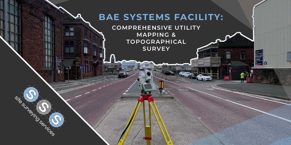
Our Locations Surveying Services in Leeds Leeds Train Station As part of the extensive redevelopment efforts centered around Leeds train station, Tri-Tech …
Our Locations Surveying Services in Leeds Stourton Park and Ride BAM Nuttall enlisted the expertise of Tri-Tech to contribute to the establishment …
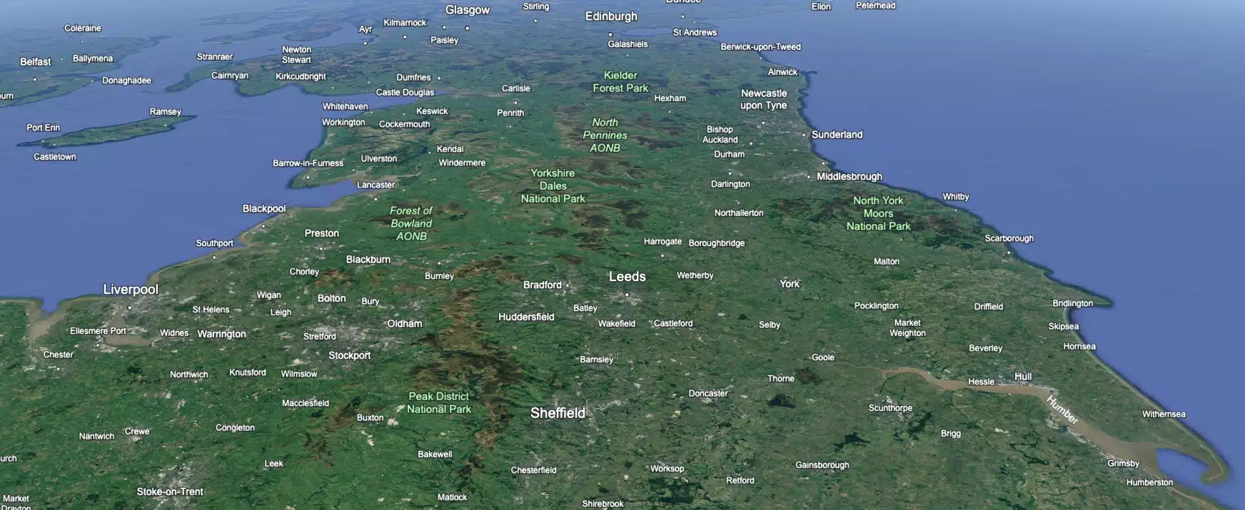
Leeds
Doncaster
Sheffield
Bradford
Hull
Halifax
Sunderland
Newcastle
Middlesborough
Yorkshire Moors
Teesside
Cumbria
Harrogate
Teesdale
York
Yorkshire Dales
Northumberland
Goole
Carlisle
Keswick
Kendal
Barrow-in-Furness
Lancaster
Blackpool
Morecambe
Southport
Liverpool
Wigan
Manchester
Blackburn
Burnley
Forest of Bowland
Oldham
Chester
Stockport
Peak District
Skipton
Crewe
Rotherham
Stoke
Driffield
our services
Land and Engineering Surveyors
topographical surveys
Site Surveying Services work with a variety of different clients on different projects, and we pride ourselves on delivering accurate, efficient, cost effective surveys ensuring our clients receive the best possible product.
utility mapping
Using the latest equipment, we can provide the location of underground services in either 2D or 3D. We use state of the art Ground Penetrating Radar and Electromagnetic Location to assist your project when service avoidance may be a potential issue on site.
monitoring
Is there any movement? That is the question that is asked before and during any monitoring scheme. That is the reason we undertake monitoring, to check for movement.
laser scanning
For mass collection of accurate survey data then nothing beats scanning. Using 3D laser Scanners the surveyors can capture millions of points per second with the creation of a PointCloud.
volumetric analysis
We specialise in the analysis of a scheme’s volumetrics at any point in time. Be it Tender, Prestart, Monthly, Weekly, or Final.
bathymetric surveys
setting out & site engineering
Bread and butter work for us! Having a strong relationship with many civil engineering companies we have a very strong team of Site Engineers and Engineering Surveyors working for us.
control network installation
At Site Surveying Services we have vast experience in this field. Be it a large highway scheme or a private property we can advise on what accuracies are required from your control network depending on what work you are carrying out and the tolerances you are carrying this work out to.
uav mapping & aerial surveys
Large areas of ground can be covered capturing the most unbelievable detail which would just be unable to be recorded with traditional methods. Our clients have really seen the benefit of what UAV surveys bring to the table.
measured building surveys
From an Industrial Unit through to a Historic House to a Semi Detached House, Site Surveying Services can provide a measured building survey for all.
3d machine control
Machine control systems have been around for years now and Site Surveying Services have been utilising these systems from the very start. We realised the benefits of these systems early on when working with earthworks contractors.
survey equipment hire
Being a leader in the Surveying and Engineering sector we have a fleet of modern survey equipment at our disposal which is second to none. We carry the latest GNSS Base Stations, GNSS Rovers, Robotic Total Stations, Laser Scanners, Digital Levels, and Dual Grade Lasers.
Virtual Tour 3D
Virtual Tour 3D is an immersive experience which instantly transports your clients to your business, and guides them through your space, creating a seamless and captivating experience.
BIM Model Creation
BIM (Building Information Modelling) model creation in surveying refers to the process of using specialised software to create a 3D digital model of a building or infrastructure project that includes information about the project’s design, construction, and maintenance.