


 Leeds
Leeds Doncaster
 Sheffield
 Bradford
 Hull
Hull Halifax
 Sunderland
 Newcastle
 Middlesborough
 Yorkshire Moors
 Teesside
 Cumbria
 Harrogate
 York
York Yorkshire Dales
 Northumberland
 Goole
Goole Carlisle
 Keswick
 Kendal
 Barrow-in-Furness
 Lancaster
 Blackpool
 Morecambe
 Southport
 Liverpool
 Wigan
Wigan Manchester
 Blackburn
 Burnley
 Forest of Bowland
 Oldham
 Chester
 Stockport
 Peak District
 Skipton
 Crewe
Crewe Rotherham
 Stoke
Stoke Driffield


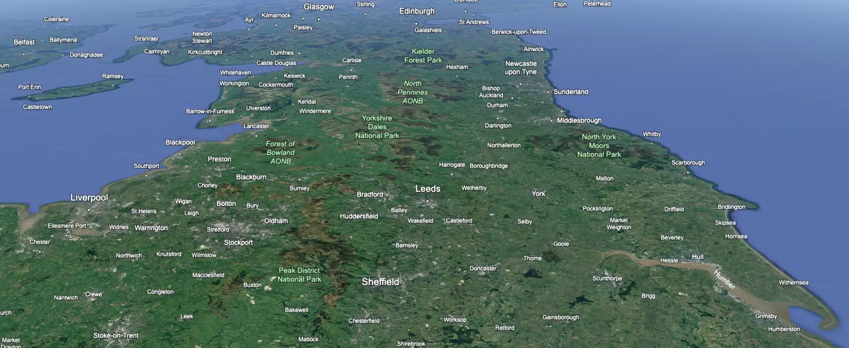
Surveying Services in Forest of Bowland
Gisburn Forest
The specification for our project in Gisburn Forest involved conducting a comprehensive Topographical Survey for the installation of new telecommunications masts near Stocks Reservoir, Clitheroe.
The primary objective was to survey approximately two miles of road where electric cables would be installed to connect to the new masts. This detailed survey was essential for planning the optimal route and ensuring the successful implementation of the cable infrastructure.
To achieve this, we established GPS control across the entire length of the site to ensure the best fit for Total Station (TS) data. By traversing the full length of the road, we meticulously measured all relevant road details and widths, extending to the boundaries on either side. This included capturing precise information on road gradients, surface conditions, and any existing features that could impact the cable installation.
The GPS control points provided a reliable framework for integrating the data collected from the Total Station, ensuring high accuracy and consistency throughout the survey. This dual approach allowed us to produce a detailed and accurate topographical map of the road and its surroundings, highlighting all critical aspects that needed to be considered for the cable installation.
The survey data was instrumental for the engineering team to plan the route of the electric cables, ensuring they could be laid efficiently and safely without disrupting the existing road infrastructure or the surrounding environment.
Client details
Clarke Telecom
service provided
Topographical Survey
Project timeline
5 days on site approx. 2 days in the office
