


 Leeds
Leeds Doncaster
 Sheffield
 Bradford
 Hull
Hull Halifax
 Sunderland
 Newcastle
 Middlesborough
 Yorkshire Moors
 Teesside
 Cumbria
 Harrogate
 York
York Yorkshire Dales
 Northumberland
 Goole
Goole Carlisle
 Keswick
 Kendal
 Barrow-in-Furness
 Lancaster
 Blackpool
 Morecambe
 Southport
 Liverpool
 Wigan
Wigan Manchester
 Blackburn
 Burnley
 Forest of Bowland
 Oldham
 Chester
 Stockport
 Peak District
 Skipton
 Crewe
Crewe Rotherham
 Stoke
Stoke Driffield


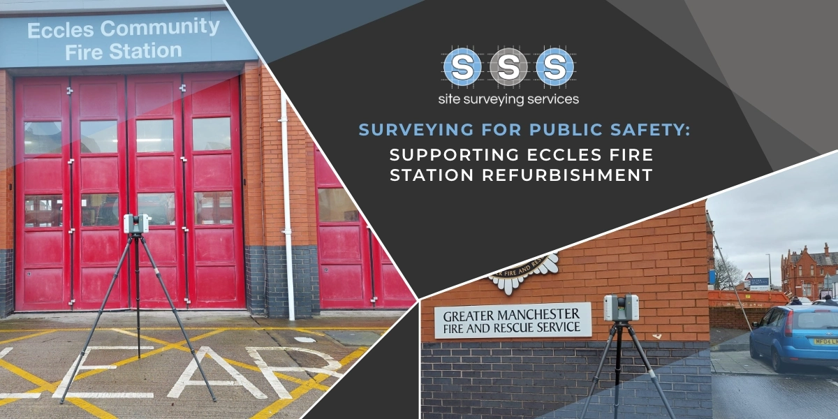
Drone Surveying at Clitheroe Football Club
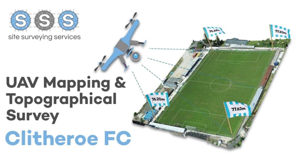
One of our Land Surveyors, Michael Read has been a regular supporter of Clitheroe Football Club. He recently created an interesting Topographical Survey and UAV Mapping of the pitch which helps solve a niggling thought which he has had for many years. The pitch is clearly not level, but how un-level is it? Using photogrammetry […]
