
 Leeds
Leeds Doncaster
 Sheffield
 Bradford
 Hull
Hull Halifax
 Sunderland
 Newcastle
 Middlesborough
 Yorkshire Moors
 Teesside
 Cumbria
 Harrogate
 York
York Yorkshire Dales
 Northumberland
 Goole
Goole Carlisle
 Keswick
 Kendal
 Barrow-in-Furness
 Lancaster
 Blackpool
 Morecambe
 Southport
 Liverpool
 Wigan
Wigan Manchester
 Blackburn
 Burnley
 Forest of Bowland
 Oldham
 Chester
 Stockport
 Peak District
 Skipton
 Crewe
Crewe Rotherham
 Stoke
Stoke Driffield


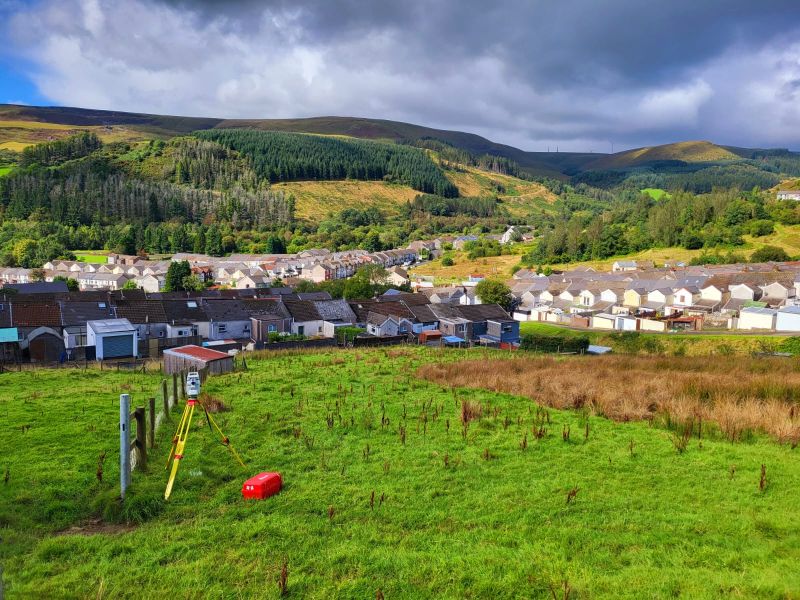
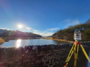
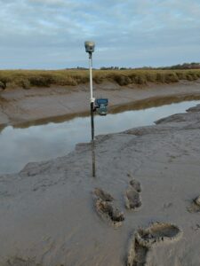
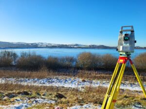
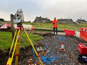
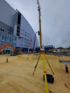
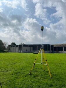
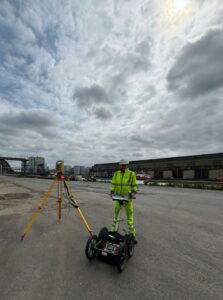
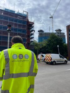
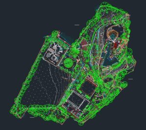
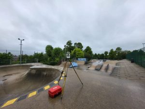
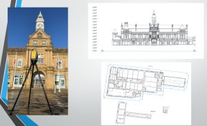
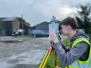
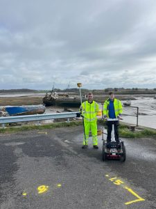
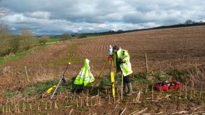
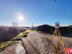
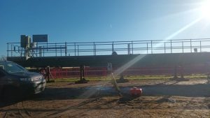
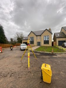
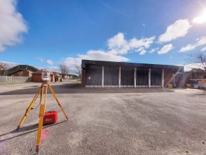
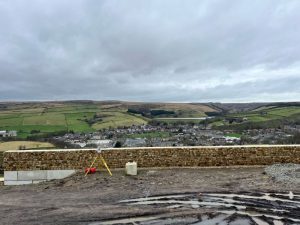
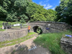
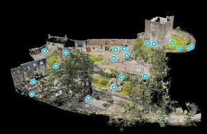
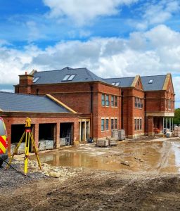
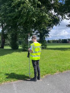
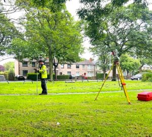
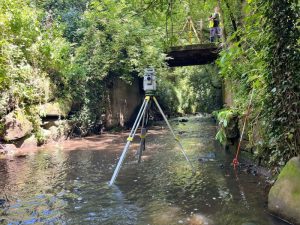
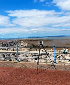
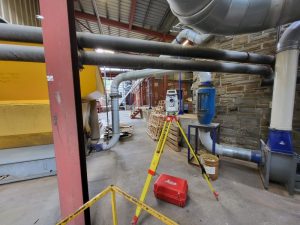
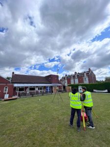
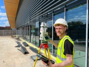
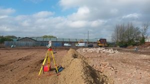
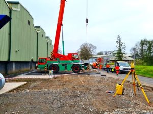
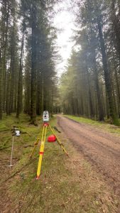
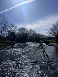
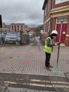
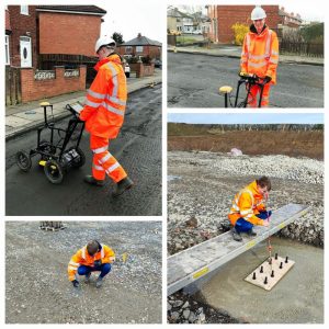
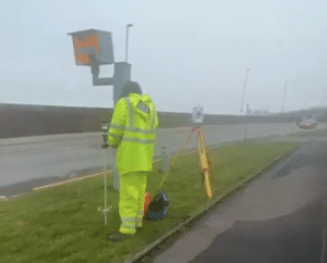
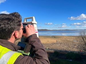
A stunning South Wales backdrop is the setting today. Down in Bridgend undertaking a Topographical Survey ahead of the potential installation of a telephone mast. But why is topography so important?
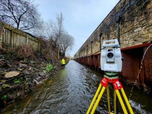
🌍 The Power of Accurate Topography: Elevating Every Project 🌍
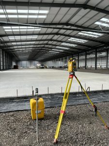
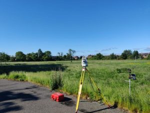
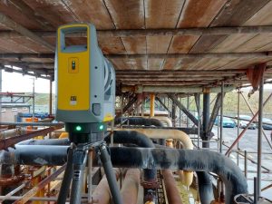
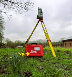
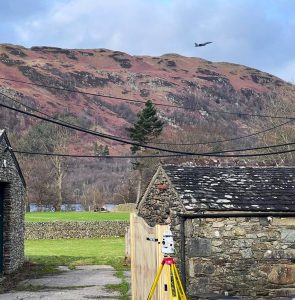
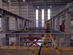
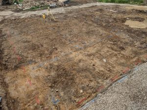
In the world of engineering, construction, and planning, accurate topography is a cornerstone of success. Whether it’s designing infrastructure, managing natural resources, or mitigating environmental risks, precise topographical data is key to:
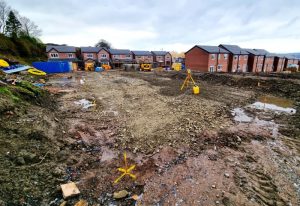
🔍 Informed Decision-Making: Detailed topographical maps allow for a clear understanding of the land’s contours, ensuring decisions are based on reality, not estimations.
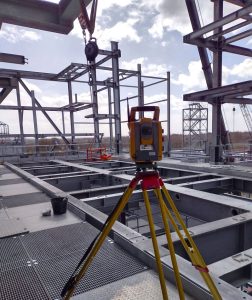
📏 Optimized Project Design: Accurate elevation and terrain data help avoid costly miscalculations, allowing for better planning and resource allocation, and minimizing delays and overruns.
🌱 Environmental Protection: By understanding the land’s natural features, we can develop sustainably, preserving ecosystems and preventing soil erosion or water runoff issues.
🚧 Risk Mitigation: Proper topography helps identify potential hazards such as landslide-prone areas or flood zones, protecting both projects and communities.
Accurate topography isn’t just a step in the process—it’s the foundation of every successful project.