
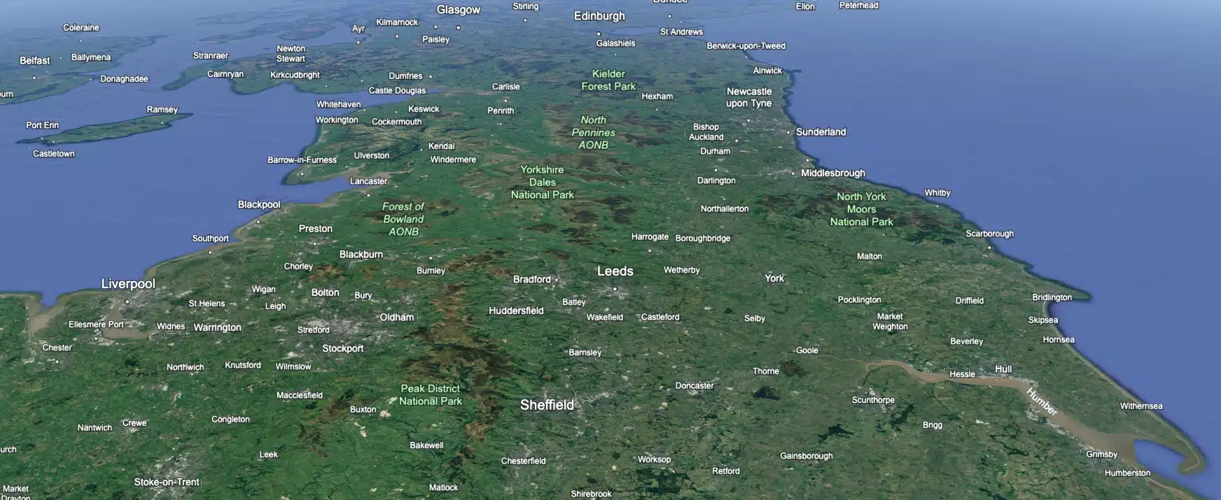
 Leeds
Leeds Doncaster
 Sheffield
 Bradford
 Hull
Hull Halifax
 Sunderland
 Newcastle
 Middlesborough
 Yorkshire Moors
 Teesside
 Cumbria
 Harrogate
 York
York Yorkshire Dales
 Northumberland
 Goole
Goole Carlisle
 Keswick
 Kendal
 Barrow-in-Furness
 Lancaster
 Blackpool
 Morecambe
 Southport
 Liverpool
 Wigan
Wigan Manchester
 Blackburn
 Burnley
 Forest of Bowland
 Oldham
 Chester
 Stockport
 Peak District
 Skipton
 Crewe
Crewe Rotherham
 Stoke
Stoke Driffield


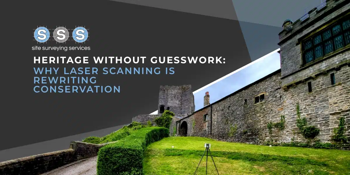
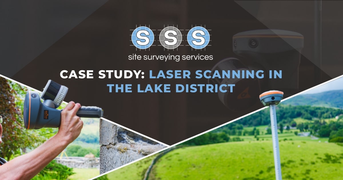
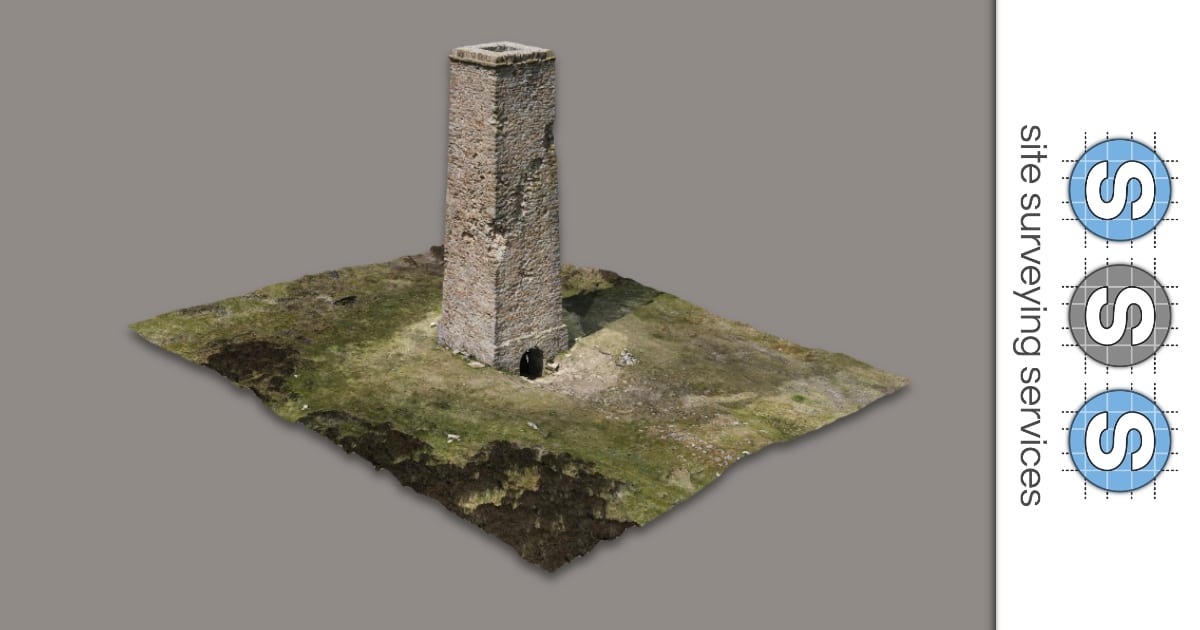
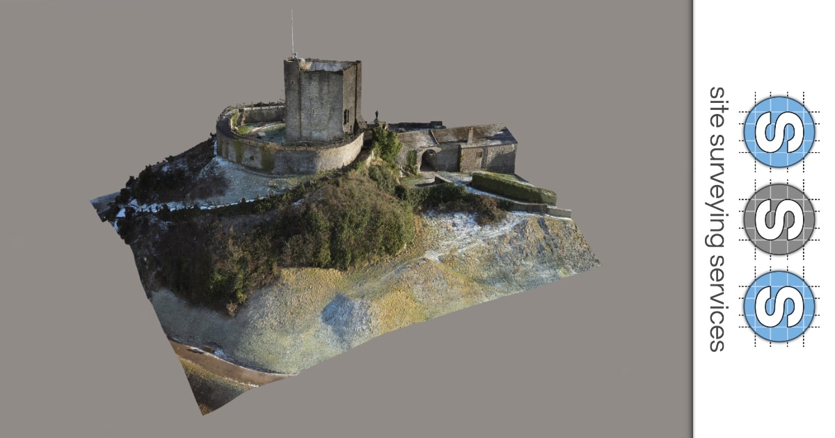
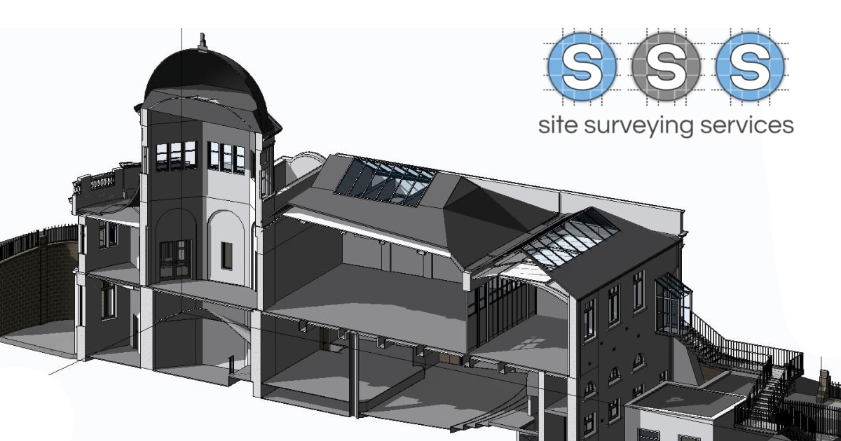
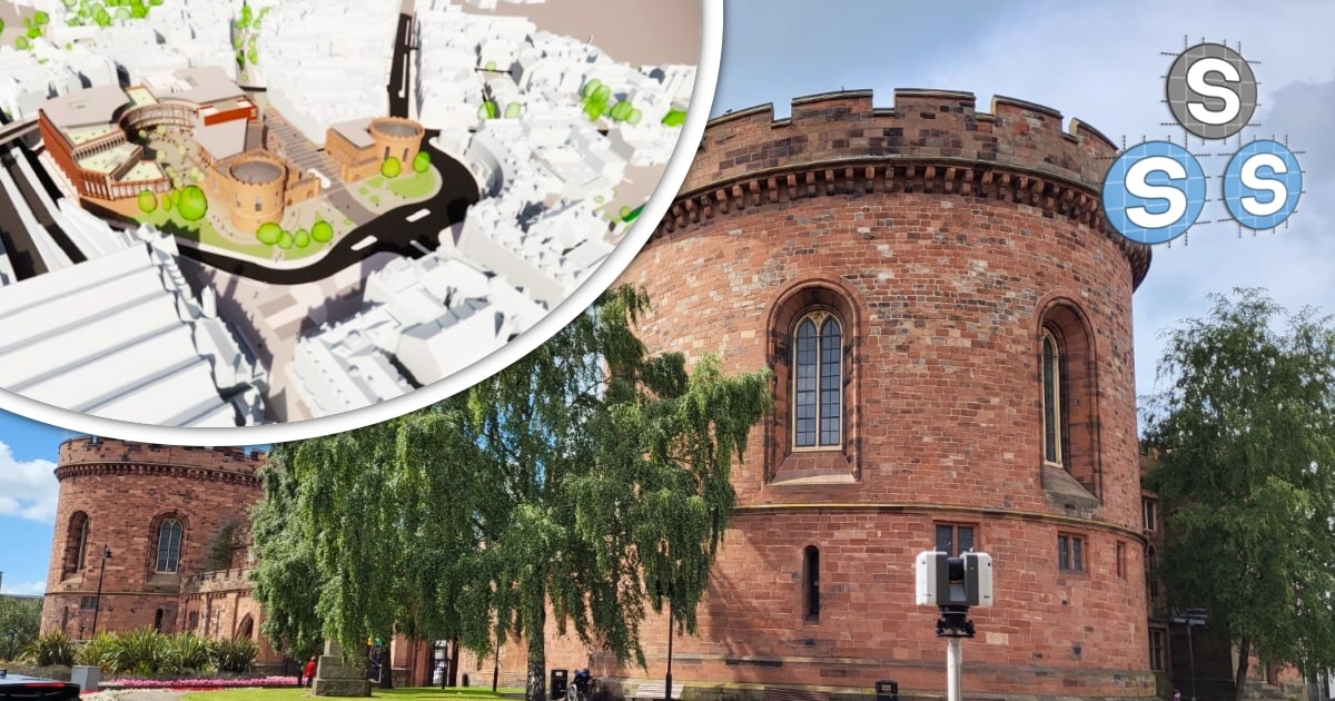
Combining heritage, history and high-precision surveying in the heart of the Lake District
Project Overview:
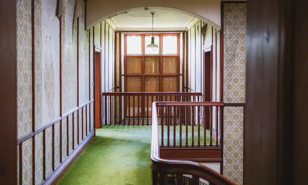
Sitting above the shimmering waters of the Lake District, offering panoramic views of the surrounding fells, this property is as rich in history as it is in beauty.

Our Brief:
CHALLENGES
A number of hazardous conditions to work through
Overgrown vegetation obscuring site features
Isolated locations with limited access for certain equipment
Preserving the integrity of a historically significant property during survey operations

Our approach:
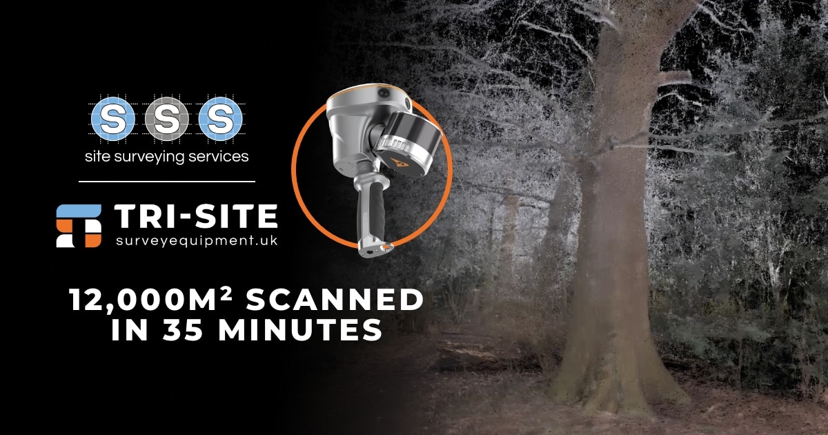
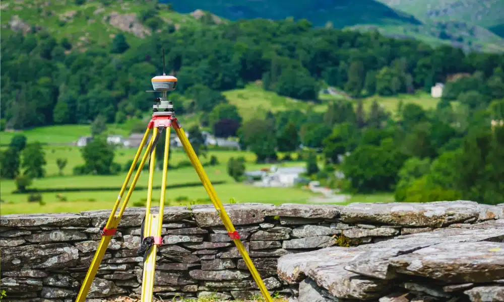
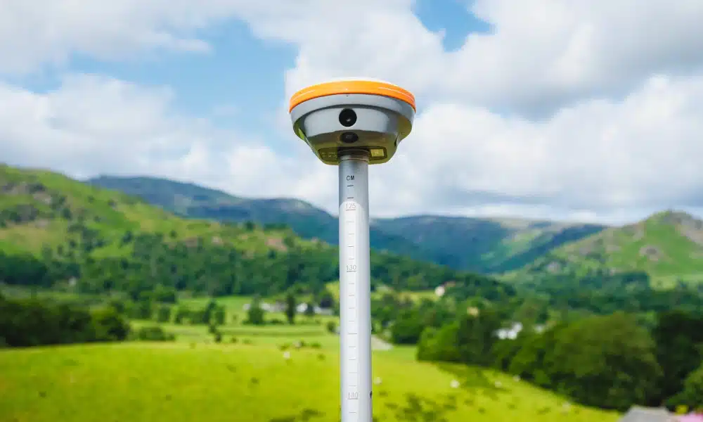
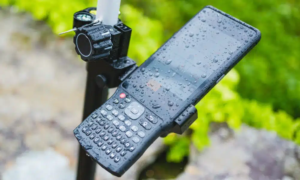
To meet the brief, we adopted a blended surveying methodology, drawing on both traditional techniques and advanced technology. Our surveyors carefully navigated heritage-sensitive areas using tried and tested manual methods, ensuring the property’s historic integrity was preserved at all times. Alongside this, we utilised the CHC RS10 Slam Scanner from Tri-Site both inside and outside the property, capturing rapid, high-density 3D data in more complex and obstructed areas, allowing us to map every detail with precision.
For the most inaccessible spots, our team undertook careful on-foot data collection, ensuring no feature was missed and that the survey coverage was complete.
By tailoring our approach to the site’s unique conditions, we were able to deliver a full, high-accuracy dataset without compromising on care, speed, ror detail.
Results
The completed survey outputs included comprehensive topographical drawings of the property and its grounds, a full set of measured building survey drawings and a Matterport 3D model, all of which provided planners and stakeholders with the data to support planning applications. All deliverables were prepared to planning application standards, enabling the client to progress with confidence.
Impact
This project not only provided the essential information required for the planning process, but also created a valuable historic record of the property in its current state. By using advanced technology such as the CHC RS10 SLAM Scanner, we were able to capture comprehensive inside-and-outside datasets faster than with traditional methods alone, while maintaining the highest levels of accuracy.
The speed and precision of the RS10 allowed us to work efficiently even in overgrown or hard-to-access areas, reducing time on site and minimising disruption to the property and its surroundings. The result was a set of detailed, high-quality deliverables that enable planners to design sympathetically, working in harmony with the property’s heritage, while also preserving its story for years to come.