
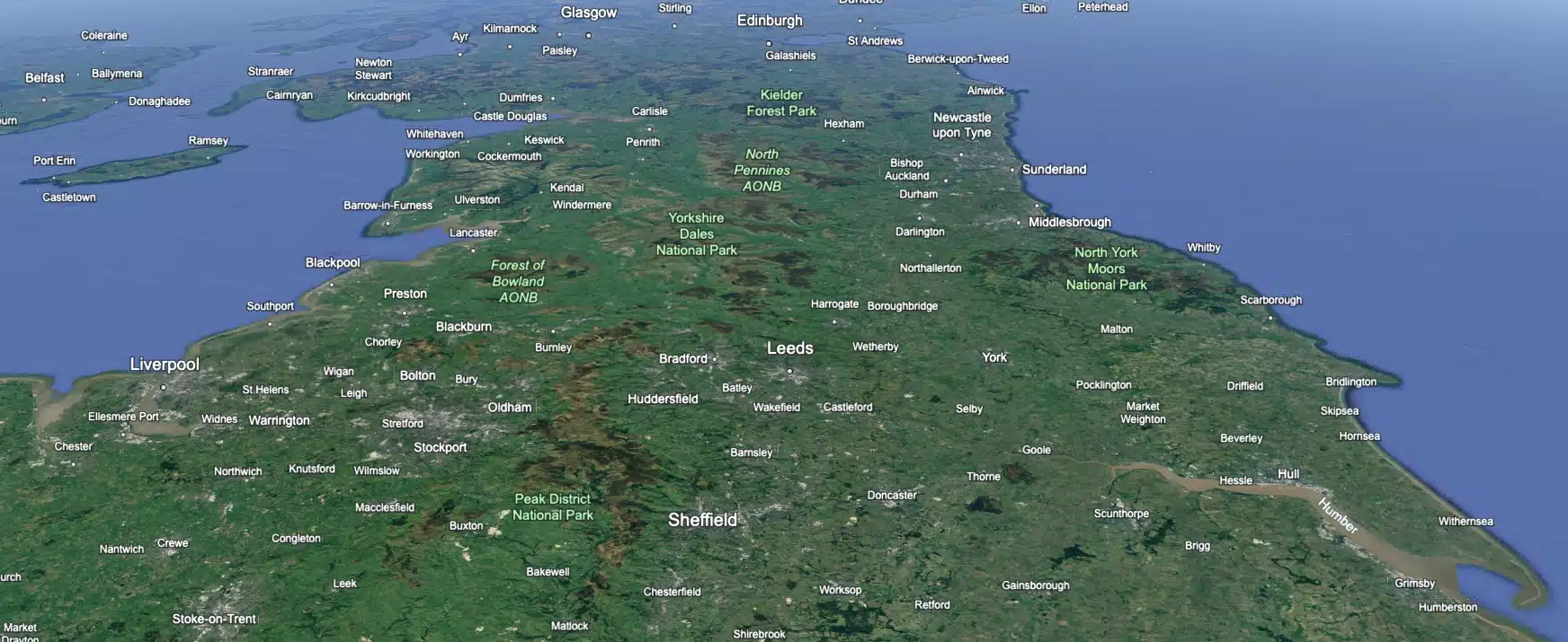
 Leeds
Leeds Doncaster
 Sheffield
 Bradford
 Hull
Hull Halifax
 Sunderland
 Newcastle
 Middlesborough
 Yorkshire Moors
 Teesside
 Cumbria
 Harrogate
 York
York Yorkshire Dales
 Northumberland
 Goole
Goole Carlisle
 Keswick
 Kendal
 Barrow-in-Furness
 Lancaster
 Blackpool
 Morecambe
 Southport
 Liverpool
 Wigan
Wigan Manchester
 Blackburn
 Burnley
 Forest of Bowland
 Oldham
 Chester
 Stockport
 Peak District
 Skipton
 Crewe
Crewe Rotherham
 Stoke
Stoke Driffield


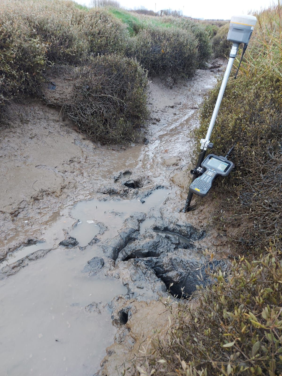
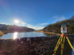
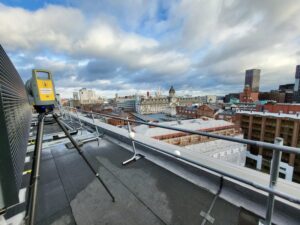
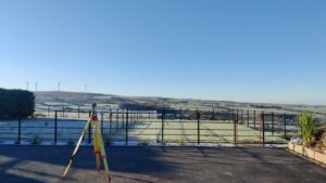
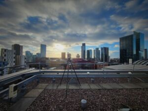
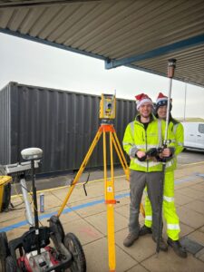
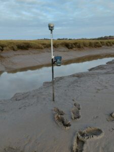
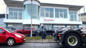
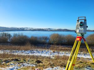
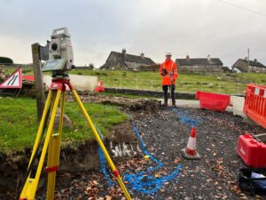
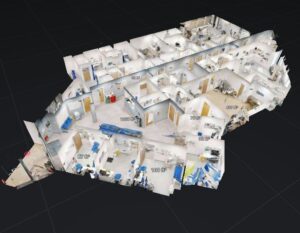
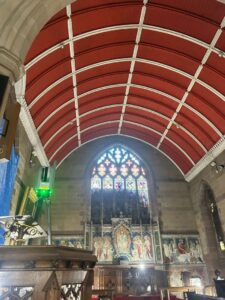
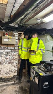
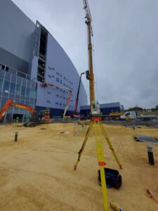
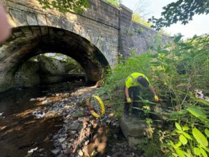
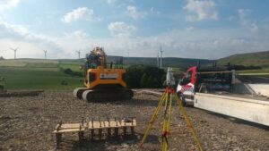
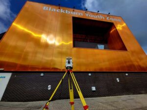
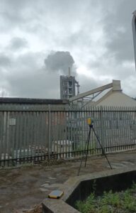
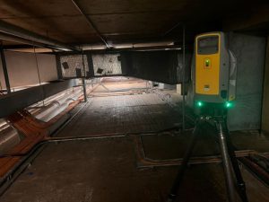
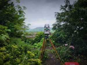
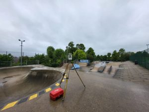
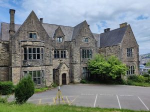
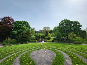
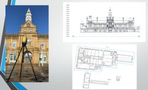
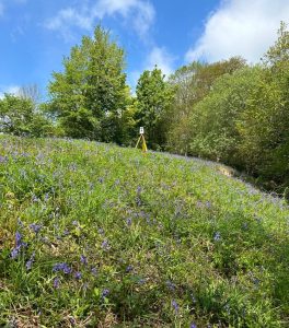
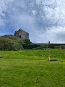
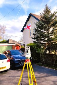
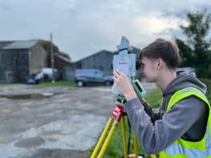
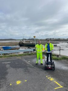
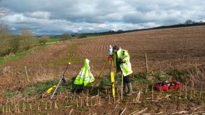
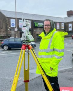
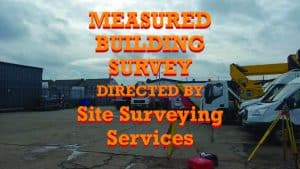
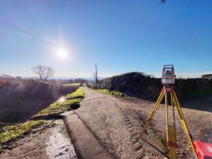
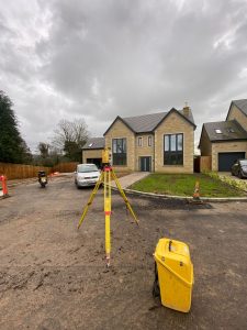
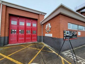
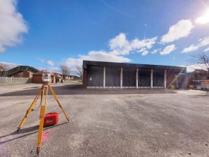
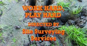
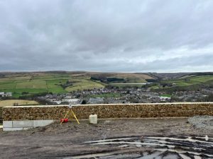
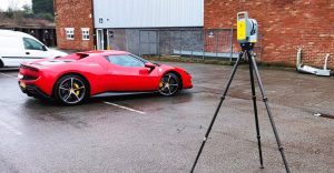
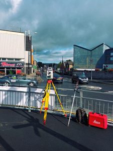
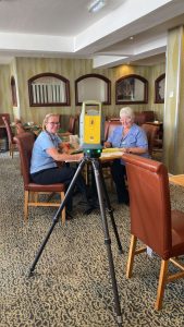
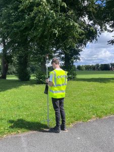
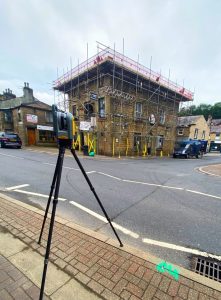
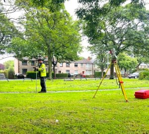
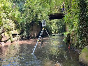
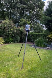
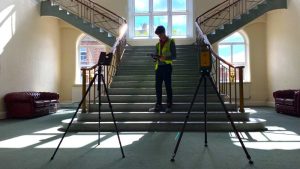
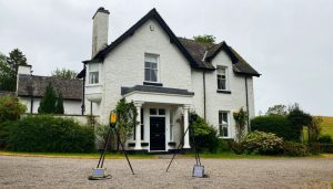
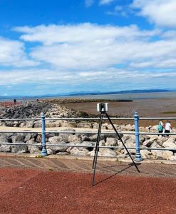
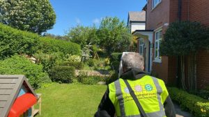
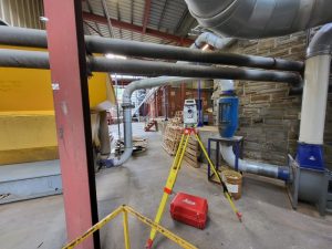
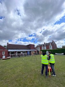
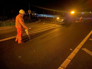
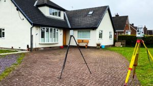
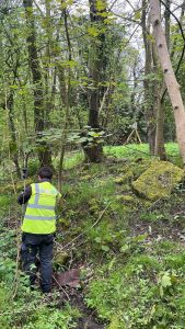
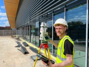
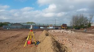
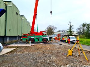
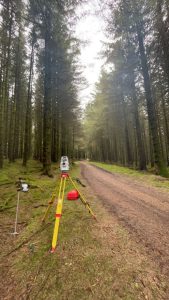
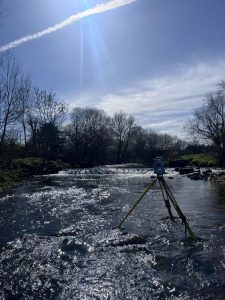
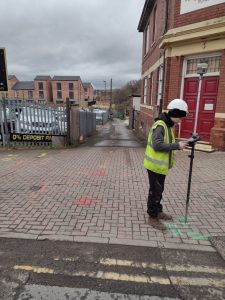
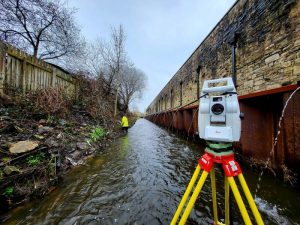
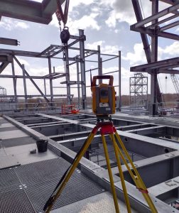
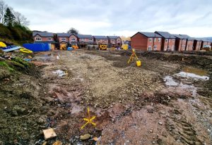
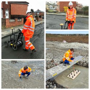
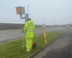
The Realities of Topographical Surveys in Tough Terrain 🧭🌍
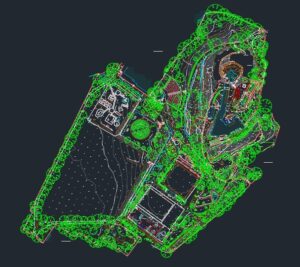
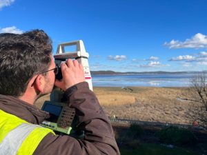
Ever wonder why surveying costs rise when the terrain gets challenging? It’s not just about collecting data, it’s about conquering the elements to ensure every detail is accurate and reliable.
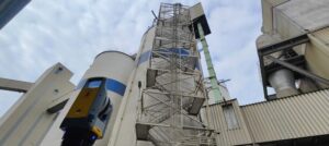
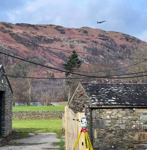
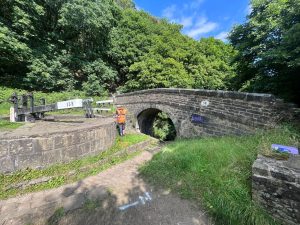
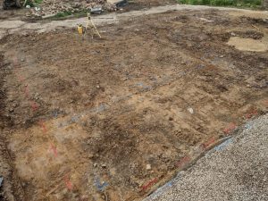
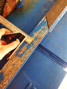
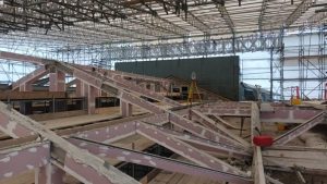
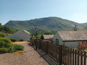
What makes tough terrains so unique (and costly)?
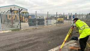
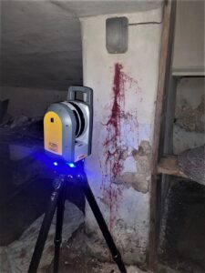
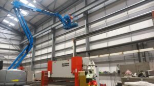
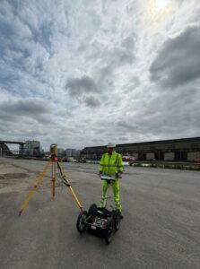
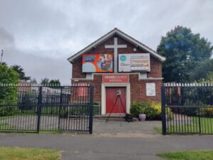
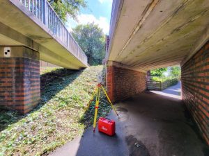
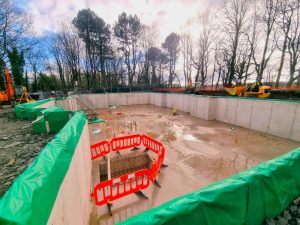
– Access Challenges: Remote areas often require off-road vehicles, long treks ,or sometimes specialised equipment to reach the survey area.
– Safety First: Sand, dense forests, and steep slopes demand extra precautions to keep teams safe.
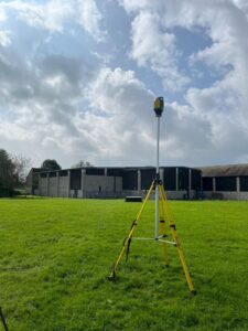
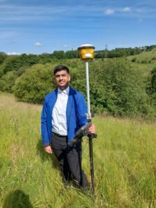
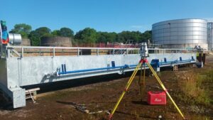
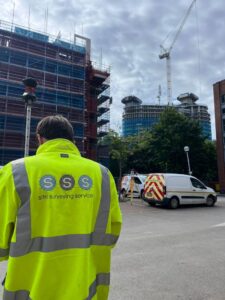
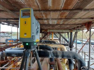
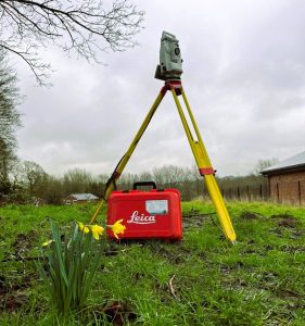
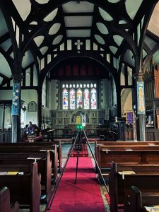
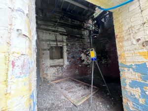
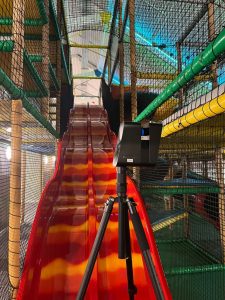
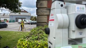
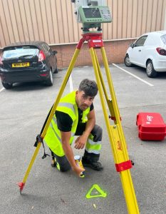
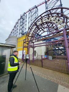
– Specialized Tools & Expertise: Advanced drones, GPS systems, and skilled professionals are essential to handle the complexity of irregular landscapes.
– Time & Precision: Tough terrain slows down progress, but attention to detail is critical to deliver accurate results.
Each survey is an investment in ensuring your project has the solid foundation it deserves. While the costs reflect the effort, technology, and expertise involved, the value of getting it right in these conditions is immeasurable.
We take pride in overcoming these challenges to deliver results that clients can trust, no matter how remote or rugged the location.