News & Information
Locations
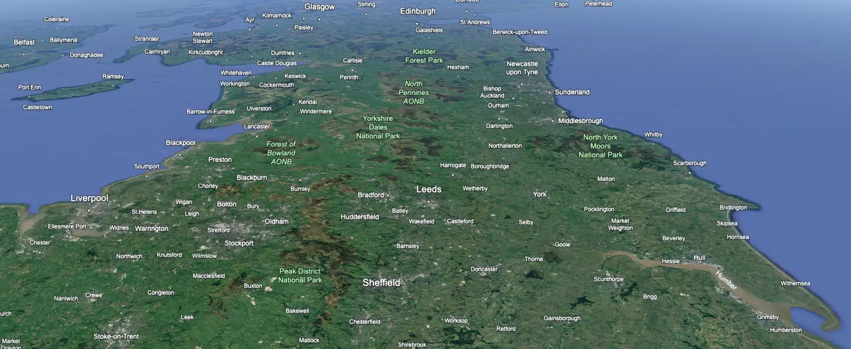
 Leeds
Leeds
 Doncaster
 Sheffield
 Bradford
 Hull
Hull
 Halifax
 Sunderland
 Newcastle
 Middlesborough
 Yorkshire Moors
 Teesside
 Cumbria
 Harrogate
 York
York
 Yorkshire Dales
 Northumberland
 Goole
Goole
 Carlisle
 Keswick
 Kendal
 Barrow-in-Furness
 Lancaster
 Blackpool
 Morecambe
 Southport
 Liverpool
 Wigan
Wigan
 Manchester
 Blackburn
 Burnley
 Forest of Bowland
 Oldham
 Chester
 Stockport
 Peak District
 Skipton
 Crewe
Crewe
 Rotherham
 Stoke
Stoke
 Driffield
Contact & Find Us
- 01200 438 320
- [email protected]
-
Unit 1,
Shawbridge Sawmill,
Taylor Street,
Clitheroe,
BB7 1LY
Ripon Office
Head Office - Clitheroe
Matlock Office
Newcastle Office
Bristol Office
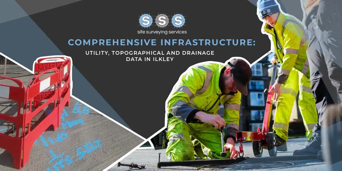
Services
Topographical Surveys
Utility Mapping
Monitoring
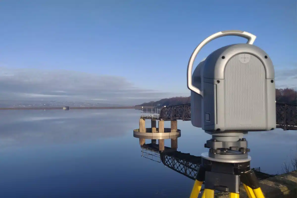
Laser Scanning
BIM Model Creation
Volumetric Analysis
3D Machine Control
Setting Out Engineers
Control Network Installation
Aerial and Drone Surveying
Measured Building Surveys
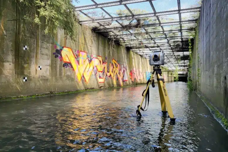
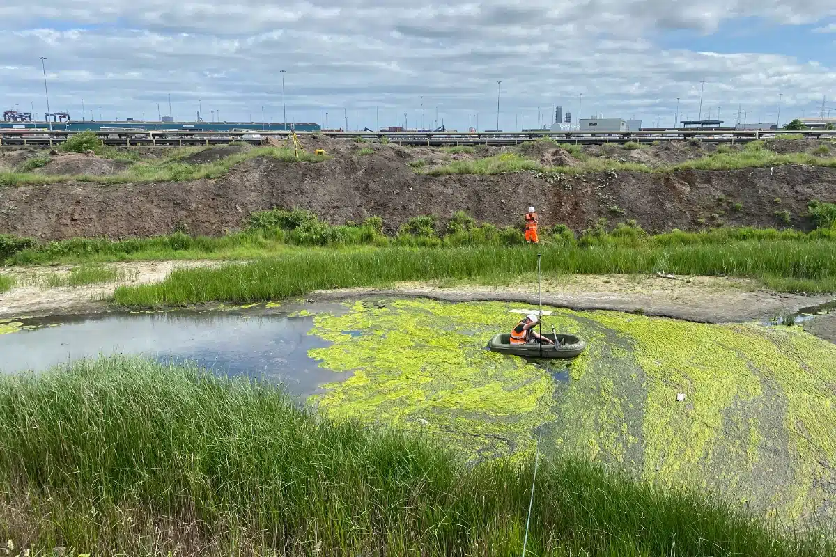
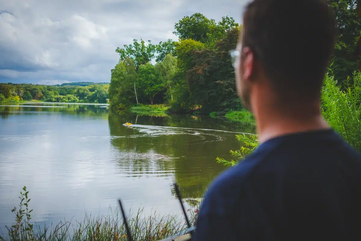
Bathymetric Surveys
Virtual Tour 3D
Survey Equipment Hire
About Site Surveying

About Us
A nationwide surveying and engineering company operating in both the public and private sectors.

Meet the Team
We’re proud to have a friendly, approachable team dedicated to delivering exceptional service from start to finish.

Surveying FAQs
We have created some answers to a series of questions which explains a little more about our services.
Sectors