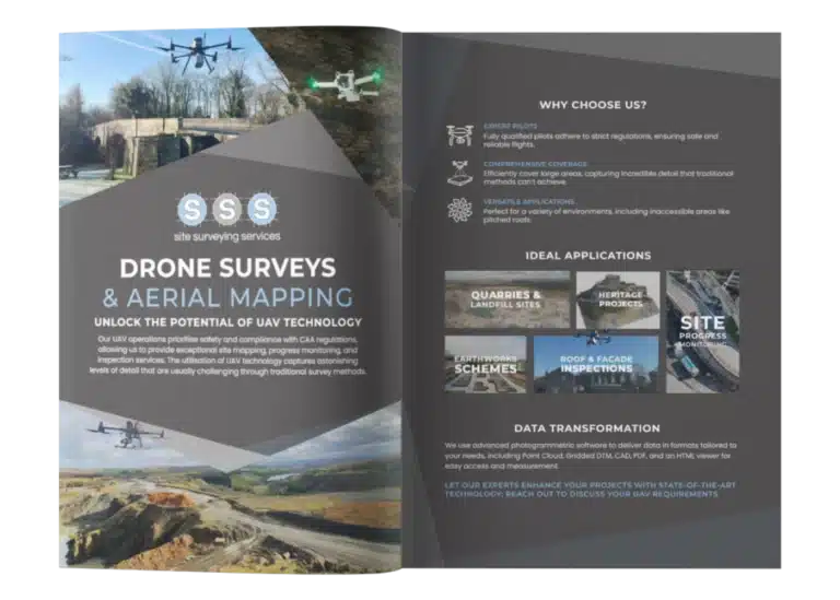
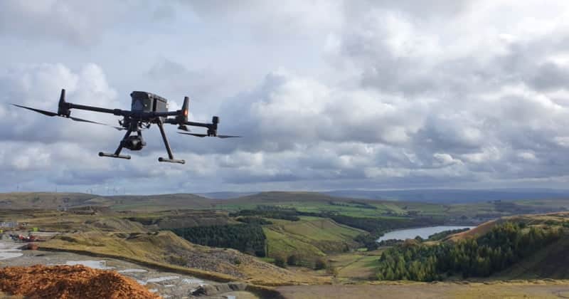
Since 2020, Site Surveying Services has been conducting UAV operations in compliance with the Civil Aviation Authority regulations. We prioritise safety and hold the necessary insurance to carry out a wide range of site mapping, progress monitoring, and inspection works.
Our team includes multiple fully qualified pilots who strictly adhere to the CAA rules during all flights. Prior to every mission, we meticulously follow our in-house standards and ensure thorough preparation well in advance.
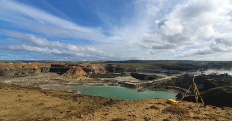
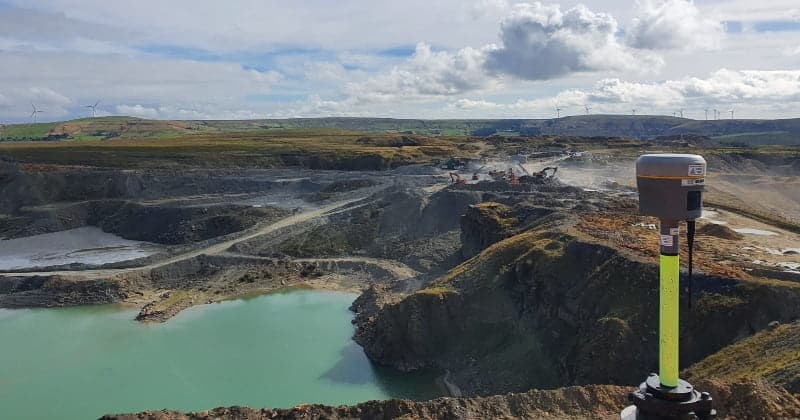
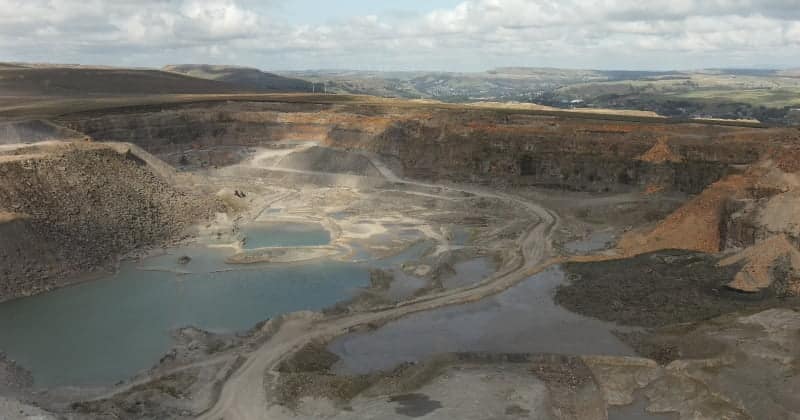
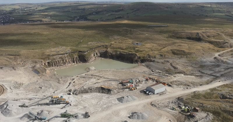
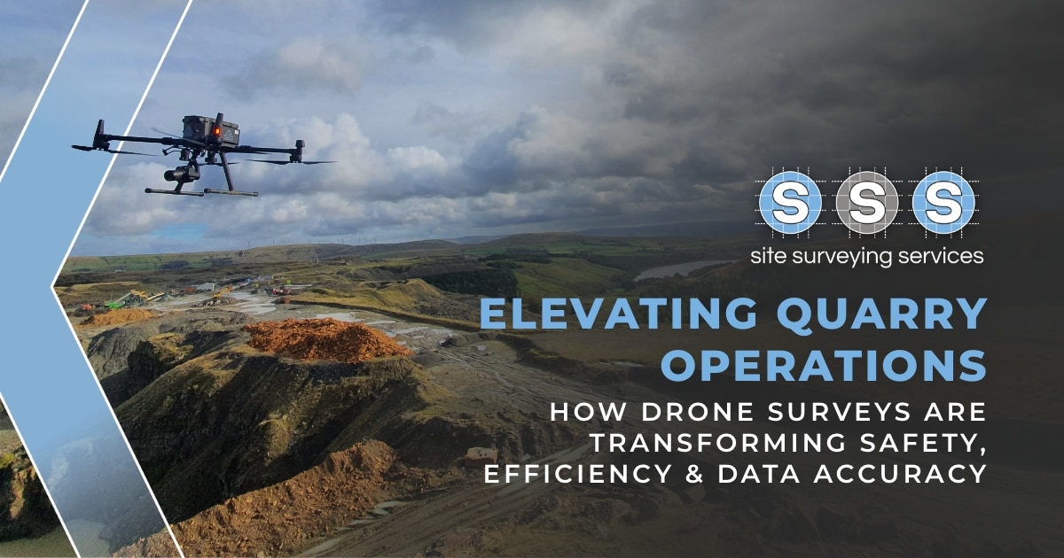
The utilisation of UAV technology allows us to cover vast areas of land efficiently, capturing astonishing levels of detail that would be challenging to achieve through traditional survey methods. For instance, if a building you need measured features pitched roofs that are inaccessible from the ground, our fleet of drones can capture this additional information from the air.
UAVs are ideal in the following environments or schemes;
quarries & landfill sites
earthworks schemes
heritage projects
inspection works such as roofs & facades
site progress: photos & video work
With our advanced photogrammetric software, we can transform the collected data into various formats that suit your specific requirements. Whether you need a Point Cloud, Gridded DTM, DTM, CAD, PDF, or an HTML viewer for easy data viewing and measurements by your team without any specialised software, we have you covered.
If you have any UAV-related needs, contact us today to discuss your requirements with our experienced team.
Site Surveying Services work with a variety of different clients on different projects, and we pride ourselves on delivering accurate, efficient, cost effective surveys ensuring our clients receive the best possible product.
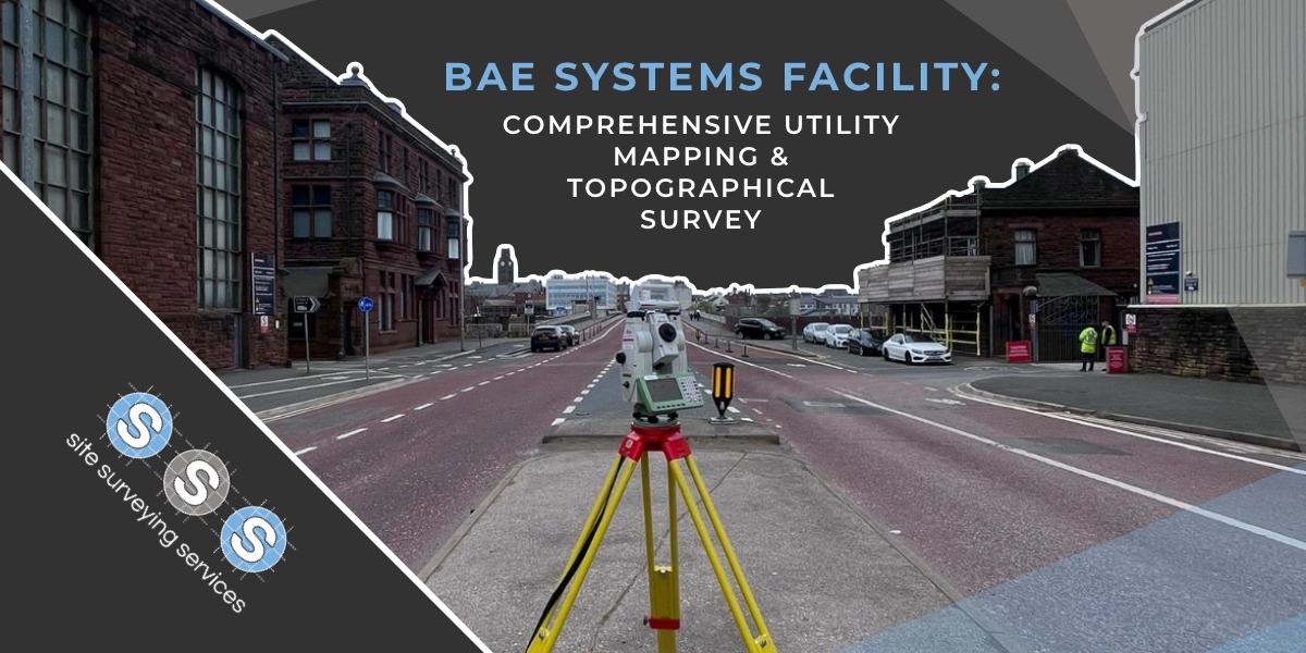
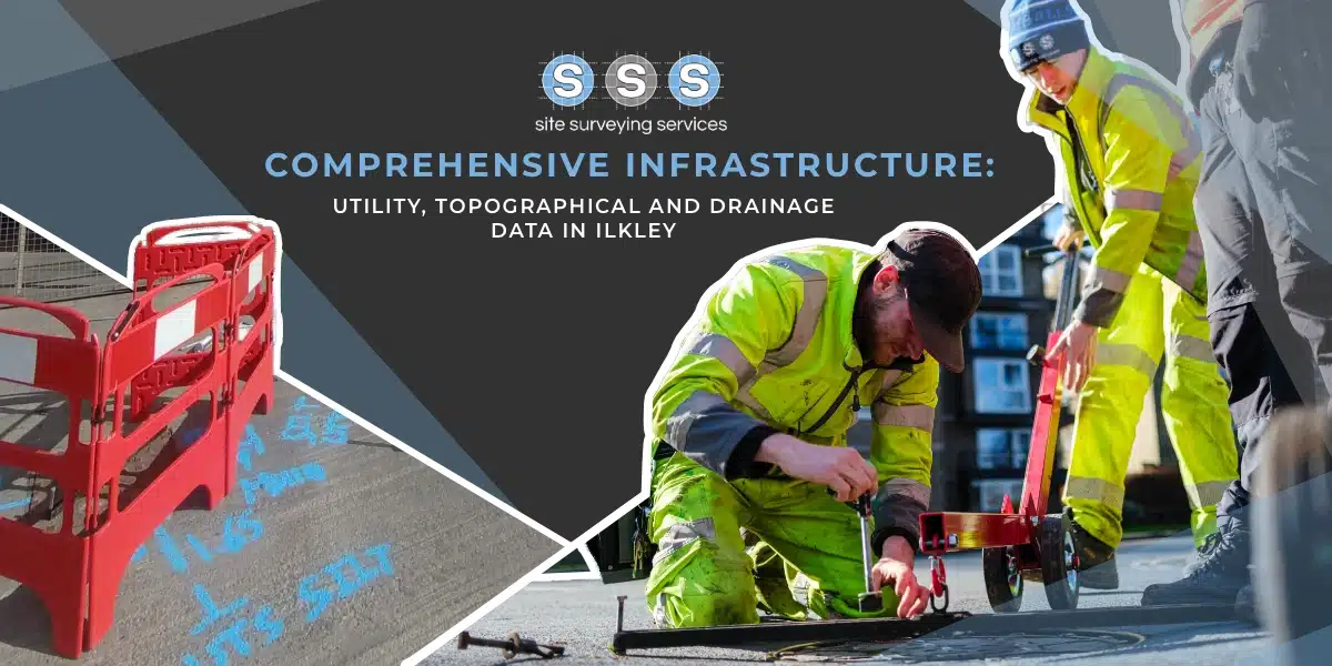
Using the latest equipment, we can provide the location of underground services in either 2D or 3D. We use state of the art Ground Penetrating Radar and Electromagnetic Location to assist your project when service avoidance may be a potential issue on site.
Is there any movement? That is the question that is asked before and during any monitoring scheme. That is the reason we undertake monitoring, to check for movement.
For mass collection of accurate survey data then nothing beats scanning. Using 3D laser Scanners the surveyors can capture millions of points per second with the creation of a PointCloud.
Bread and butter work for us! Having a strong relationship with many civil engineering companies we have a very strong team of Site Engineers and Engineering Surveyors working for us.
At Site Surveying Services we have vast experience in this field. Be it a large highway scheme or a private property we can advise on what accuracies are required from your control network depending on what work you are carrying out and the tolerances you are carrying this work out to.
Large areas of ground can be covered capturing the most unbelievable detail which would just be unable to be recorded with traditional methods. Our clients have really seen the benefit of what UAV surveys bring to the table.
Machine control systems have been around for years now and Site Surveying Services have been utilising these systems from the very start. We realised the benefits of these systems early on when working with earthworks contractors.
Being a leader in the Surveying and Engineering sector we have a fleet of modern survey equipment at our disposal which is second to none. We carry the latest GNSS Base Stations, GNSS Rovers, Robotic Total Stations, Laser Scanners, Digital Levels, and Dual Grade Lasers.
Virtual Tour 3D is an immersive experience which instantly transports your clients to your business, and guides them through your space, creating a seamless and captivating experience.
BIM (Building Information Modelling) model creation in surveying refers to the process of using specialised software to create a 3D digital model of a building or infrastructure project that includes information about the project’s design, construction, and maintenance.

 Leeds
Leeds Doncaster
 Sheffield
 Bradford
 Hull
Hull Halifax
 Sunderland
 Newcastle
 Middlesborough
 Yorkshire Moors
 Teesside
 Cumbria
 Harrogate
 York
York Yorkshire Dales
 Northumberland
 Goole
Goole Carlisle
 Keswick
 Kendal
 Barrow-in-Furness
 Lancaster
 Blackpool
 Morecambe
 Southport
 Liverpool
 Wigan
Wigan Manchester
 Blackburn
 Burnley
 Forest of Bowland
 Oldham
 Chester
 Stockport
 Peak District
 Skipton
 Crewe
Crewe Rotherham
 Stoke
Stoke Driffield