


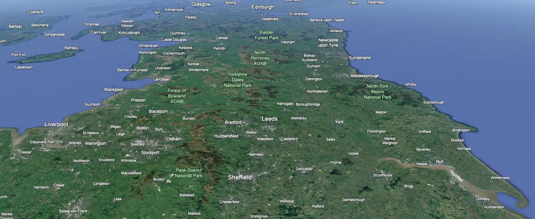
 Leeds
Leeds
 Doncaster
 Sheffield
 Bradford
 Hull
Hull
 Halifax
 Sunderland
 Newcastle
 Middlesborough
 Yorkshire Moors
 Teesside
 Cumbria
 Harrogate
 York
York
 Yorkshire Dales
 Northumberland
 Goole
Goole
 Carlisle
 Keswick
 Kendal
 Barrow-in-Furness
 Lancaster
 Blackpool
 Morecambe
 Southport
 Liverpool
 Wigan
Wigan
 Manchester
 Blackburn
 Burnley
 Forest of Bowland
 Oldham
 Chester
 Stockport
 Peak District
 Skipton
 Crewe
Crewe
 Rotherham
 Stoke
Stoke
 Driffield
Ripon Office
Head Office - Clitheroe
Matlock Office
Newcastle Office
Bristol Office

A nationwide surveying and engineering company operating in both the public and private sectors.

We’re proud to have a friendly, approachable team dedicated to delivering exceptional service from start to finish.

We have created some answers to a series of questions which explains a little more about our services.
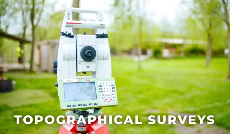
We’re recognised as leading topographical survey specialists, delivering unmatched precision and cost-effective, tailored solutions across all project types.
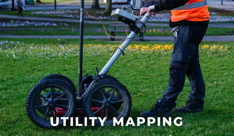
Site Surveying Services delivers PAS128-compliant, highly accurate 2D and 3D underground mapping using advanced technologies like GPR and EML to prevent service conflicts and provide long-term project value.
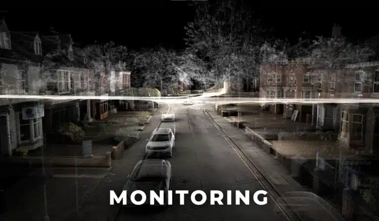
Site Surveying Services delivers precise, tailored monitoring using advanced automated systems and instrumentation to detect movement accurately across projects of all sizes.
Site Surveying Services uses high-precision 3D laser scanning to capture detailed point clouds that integrate seamlessly with BIM, Revit, and CAD for accurate, easily accessible site data and deliverables.
BIM creates a detailed, data-rich 3D digital model of a building or asset, giving project teams accurate information for better decision-making throughout its entire lifecycle.
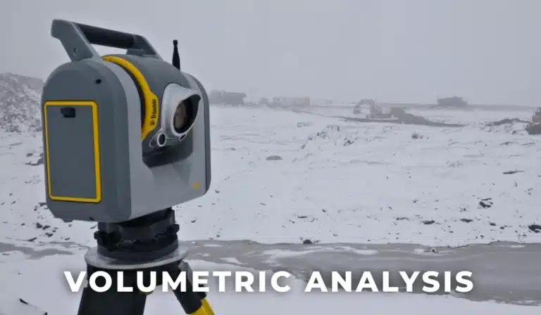
We deliver accurate, software-driven volumetric analysis at every project stage, providing material breakdowns and tailored CAD, PDF, or spreadsheet outputs you can rely on.
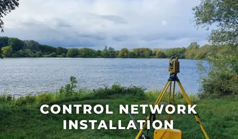
Site Surveying Services delivers precise, tailored control networks for projects of any size, providing expert guidance on required accuracies to form a reliable foundation for all future surveying work.
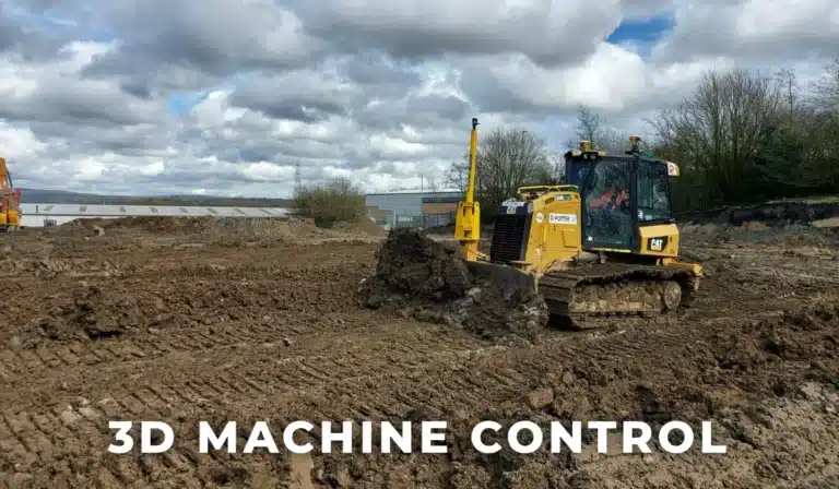
Site Surveying Services creates precise 3D machine control models for leading contractors and major airports, leveraging long-standing expertise and close partnerships with Trimble, Topcon, and Leica to ensure accurate, reliable earthworks performance.
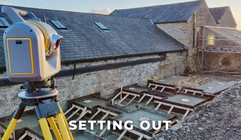
Site Surveying Services supplies skilled Site Engineers and Engineering Surveyors for projects of any size, delivering accurate, efficient on-site execution through strong industry partnerships and broad technical expertise.
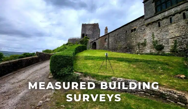
Site Surveying Services provides precise measured building surveys for all property types using 3D laser scanning, capturing full internal details—including confined or low-light areas—for accurate plans and data.
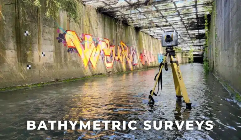
Site Surveying Services delivers precise, EA-compliant river surveys using advanced technology, providing detailed data and models to support flood risk assessment, planning, and decision-making.
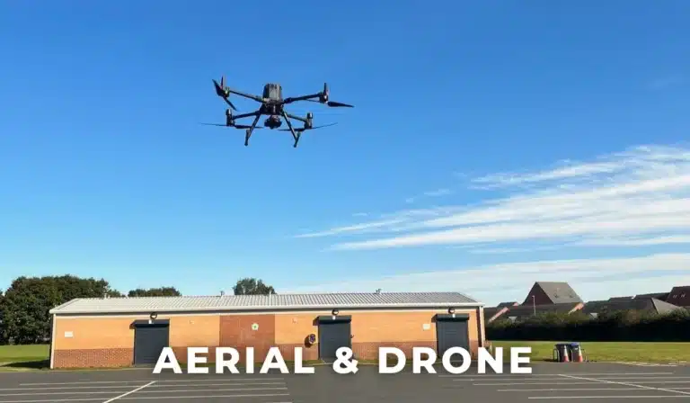
Site Surveying Services delivers safe, CAA-compliant UAV surveys using qualified pilots to capture accurate aerial data for mapping, inspections, and hard-to-reach areas.
Site Surveying Services uses a modern, calibrated fleet of GNSS, total stations, laser scanners, and precision instruments to deliver consistently accurate and reliable survey results.
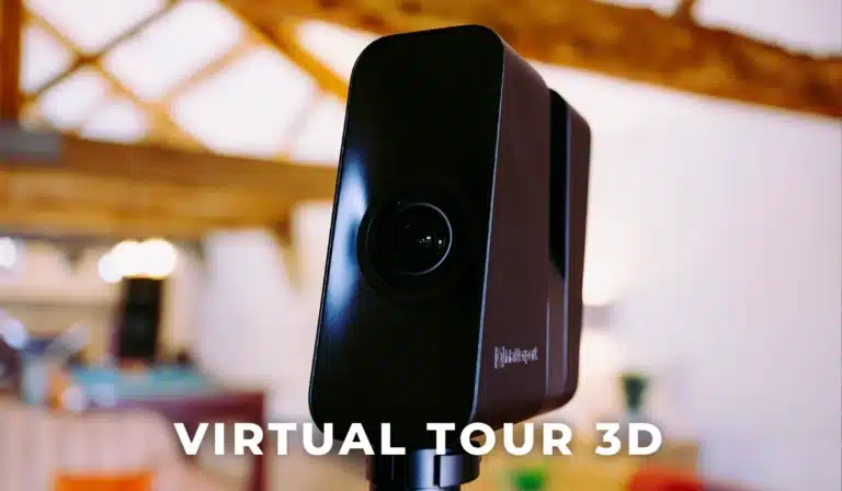
Virtual Tour 3D creates immersive, interactive 3D walkthroughs—digital twins of your space—that engage clients, elevate your business, and go beyond traditional photos or 360° tours.
