

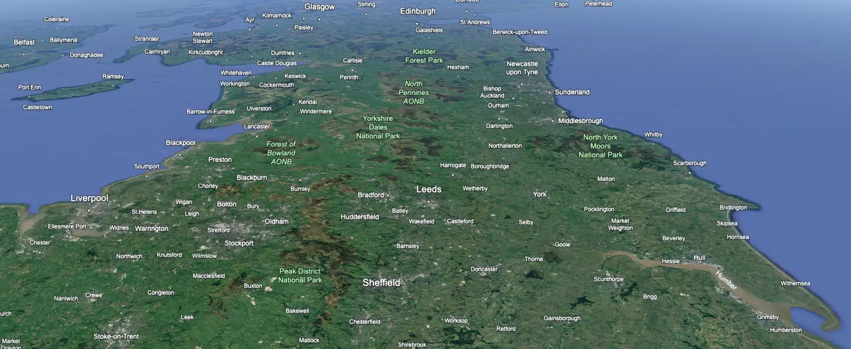
 Leeds
Leeds
 Doncaster
 Sheffield
 Bradford
 Hull
Hull
 Halifax
 Sunderland
 Newcastle
 Middlesborough
 Yorkshire Moors
 Teesside
 Cumbria
 Harrogate
 York
York
 Yorkshire Dales
 Northumberland
 Goole
Goole
 Carlisle
 Keswick
 Kendal
 Barrow-in-Furness
 Lancaster
 Blackpool
 Morecambe
 Southport
 Liverpool
 Wigan
Wigan
 Manchester
 Blackburn
 Burnley
 Forest of Bowland
 Oldham
 Chester
 Stockport
 Peak District
 Skipton
 Crewe
Crewe
 Rotherham
 Stoke
Stoke
 Driffield
Ripon Office
Head Office - Clitheroe
Matlock Office
Newcastle Office
Bristol Office

A nationwide surveying and engineering company operating in both the public and private sectors.

We’re proud to have a friendly, approachable team dedicated to delivering exceptional service from start to finish.

We have created some answers to a series of questions which explains a little more about our services.
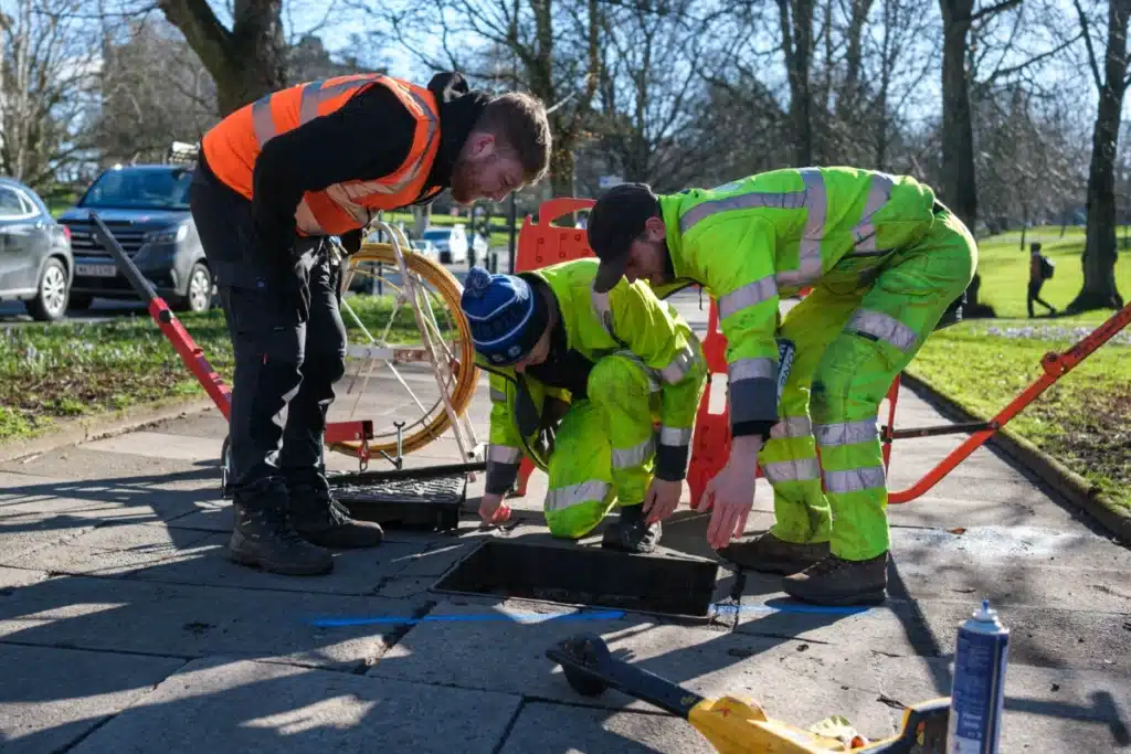
Using the latest Ground Penetrating Radar (GPR) and Electromagnetic Location (EML) technology, we provide high-accuracy 2D and 3D mapping of underground utilities in accordance with PAS 128 standards. Our surveys help eliminate uncertainty, reduce risk, and prevent costly service clashes—particularly during piling, excavation, and ground investigation works.
